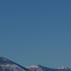
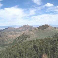
Diamond Peak, Mountain summit in Eureka County, Nevada, US.
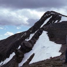
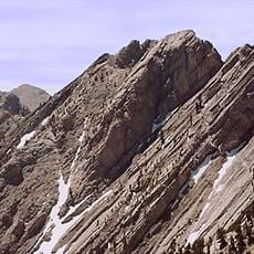
Diamond Peak is the highest and most topographically prominent mountain in the Diamond Mountains and in Eureka County, Nevada. It rises on the border of Eureka and White Pine counties, about 12 miles northeast of the town of Eureka, between the south end of Diamond Valley and the central part of Newark Valley. The summit stands on public land administered by the Bureau of Land Management, with no access restrictions.
The peak formed over millions of years through geological processes and later served as a navigation landmark for travelers on the nearby US Highway 50. This legendary route crosses one of the driest and least populated regions between California and Utah.
Diamond Peak lies on public land managed by the Bureau of Land Management, so no permits or fees are required to walk or climb on it. The peak sits about 12 miles northeast of the town of Eureka, between the south end of Diamond Valley and the central part of Newark Valley.
The best time to visit is during warmer months when weather conditions are more stable and snow does not block the routes. Visitors should prepare for rough terrain and bring water and navigation tools, as this area remains very remote.
Diamond Peak is the highest and most topographically prominent mountain in both the Diamond Mountains and Eureka County, and it ranks thirty-ninth among Nevada's most prominent peaks. It sits on the Eureka County–White Pine County line, about 12 miles northeast of the town of Eureka, between the south end of Diamond Valley and the central part of Newark Valley. The land is public, administered by the Bureau of Land Management, so there are no access restrictions.
The community of curious travelers
AroundUs brings together thousands of curated places, local tips, and hidden gems, enriched daily by 93,525 contributors worldwide.