U.S. Route 50 in Nevada, Transcontinental highway in central Nevada, United States
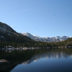
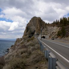
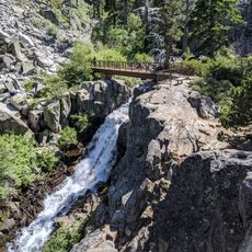
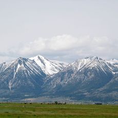
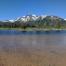
U.S. Route 50 in Nevada is a highway section running 408 miles (657 km) across the central desert landscape of the state, connecting seven counties from the California border to the Utah line. The road crosses wide valleys and mountain ranges, with entire stretches passing through areas where no towns or major settlements appear for hours.
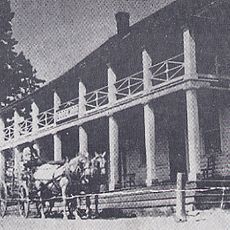
This section follows the trail used by the Pony Express beginning in 1860 and later by the Lincoln Highway. The federal route was officially established in 1926, absorbing portions of older overland paths that had carried stagecoaches and gold seekers westward.
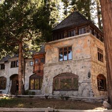
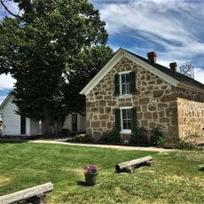
Communities along this stretch welcome travelers with local museums and visitor centers that document the region's mining and mail delivery heritage. Many towns offer a survival certificate program where visitors collect stamps to prove they completed the crossing, turning the isolation into a memorable journey.
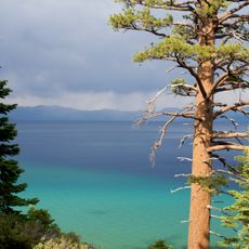
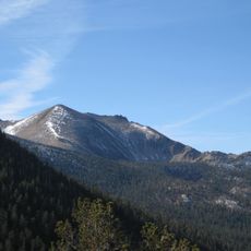
Travelers should check their fuel and supplies before setting out, as some stretches exceed 100 miles (160 km) without service stations or stores. Early morning or late afternoon driving helps avoid extreme summer heat and offers clearer views of the surrounding mountain ranges.
A magazine article in 1986 labeled this section as the loneliest road in America, sparking a tourism campaign that has since drawn travelers seeking solitude. Some monitoring points along the route still record fewer than 500 vehicles daily, confirming the original assessment.
The community of curious travelers
AroundUs brings together thousands of curated places, local tips, and hidden gems, enriched daily by 60,000 contributors worldwide.