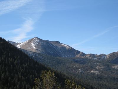
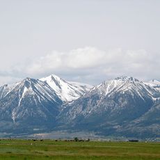
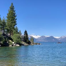
Freel Peak, Mountain summit in Carson Range, California, US.
Freel Peak is the highest point of both El Dorado County and the Tahoe Basin in the Sierra Nevada. The summit stands at the boundary between two national forests and overlooks the surrounding mountain landscape.
The USGS officially named the peak in 1893 after James Freel, an Illinois settler who worked as a miner and rancher. The name honors a pioneer who was active in this mountain region.
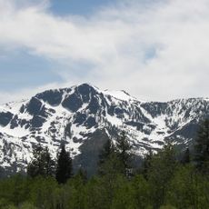
The mountain stands at the intersection of two national forests, Eldorado and Toiyabe, representing significant protected natural areas in the western United States.
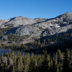
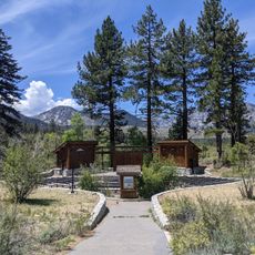
Multiple hiking trails lead to the summit through sandy terrain and zones of Lodgepole Pine and Red Fir trees. Visitors should be prepared for changing weather conditions since the elevation creates significant variations in conditions.
The peak experiences an alpine climate where temperatures in July reach 18.8°C at maximum while receiving 978 millimeters of annual precipitation.
The community of curious travelers
AroundUs brings together thousands of curated places, local tips, and hidden gems, enriched daily by 60,000 contributors worldwide.