El Dorado County, County in Sierra Nevada mountains, California, United States
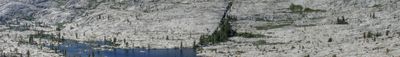
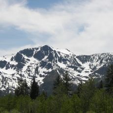
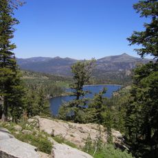
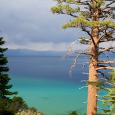
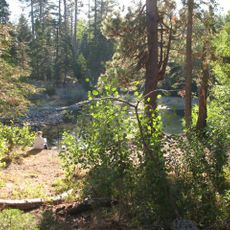
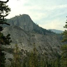
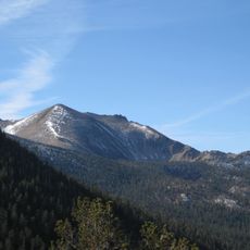
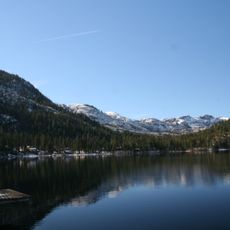
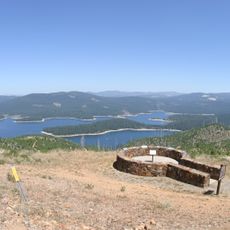
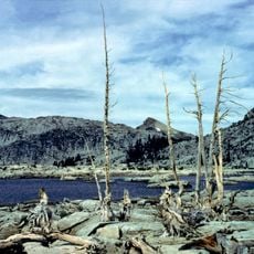
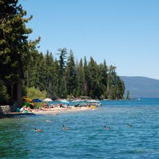
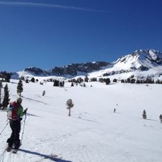
El Dorado County is an administrative area in the Sierra Nevada mountains of California, United States, extending from low foothills to alpine peaks. The area includes forested slopes, river valleys, and a portion of Lake Tahoe shoreline in its eastern section.
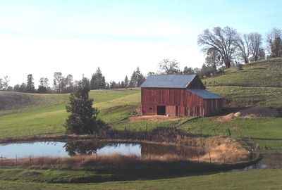
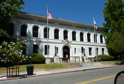
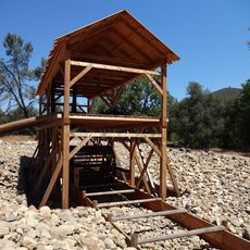
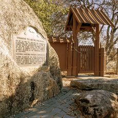
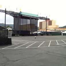
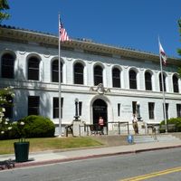
The administrative unit was created in 1850 as one of the first in California, after prospectors rushed to the region. Over the following decades, the economy shifted from gold extraction to logging and agriculture, while towns like Placerville became supply centers.
The name comes from Spanish and means 'the golden one', a reflection of the mining rush that shaped local settlement patterns and town names throughout the area. Today visitors can still see wooden storefronts and mining equipment displayed in the smaller communities, reminding them of the days when thousands arrived seeking fortune.
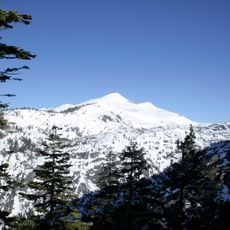
Most visitors reach the western towns via highways from the Sacramento Valley, while the eastern mountain areas are accessible through winding pass roads. In winter, higher elevations can receive snow, so travelers should check road conditions before heading into the mountains.
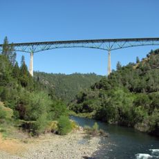
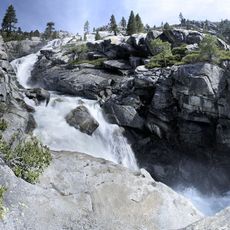
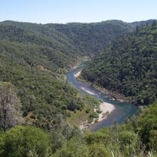
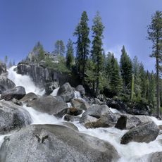
The American River Fork runs through deep gorges and offers whitewater rafting spots that are popular with paddlers. Some sections of the river pass through rocky narrows where prospectors once searched for nuggets.
The community of curious travelers
AroundUs brings together thousands of curated places, local tips, and hidden gems, enriched daily by 60,000 contributors worldwide.