Mokelumne Wilderness, Nature reserve in Calaveras County, United States.
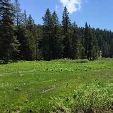
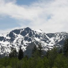
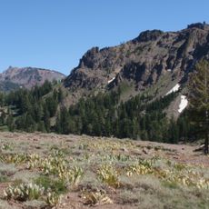
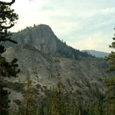
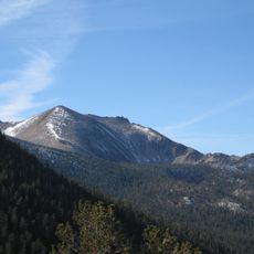
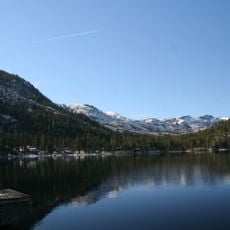
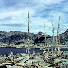
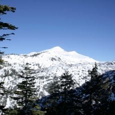
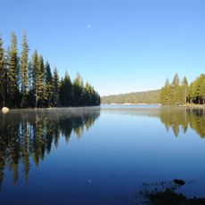
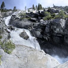
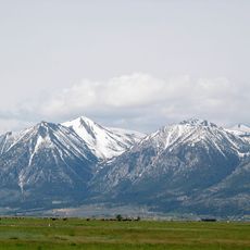
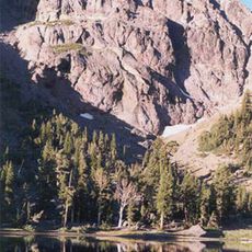
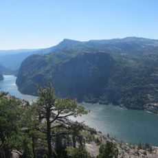
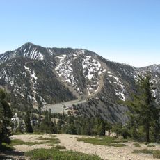
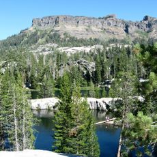
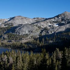
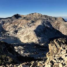
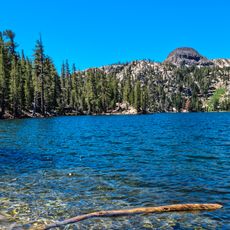
Mokelumne Wilderness is a 105,165-acre federally designated wilderness in the Sierra Nevada between Ebbetts Pass and Carson Pass, within the Stanislaus, Eldorado and Toiyabe national forests. Blue Lakes Road and an off-road vehicle corridor divide it into two sections. Elevations run from 4,000 to 10,381 feet; the highest point is Round Top, a remnant volcano whose soils give the area its volcanic character, while glaciated west slopes expose granite bedrock.
The Mokelumne Wilderness was first protected under the Wilderness Act of 1964. The California Wilderness Act of 1984 added 55,000 acres, bringing the area to 105,165 acres within the Stanislaus, Eldorado and Toiyabe national forests.
The name Mokelumne comes from the Mokelumne River, itself named after a Mi-wok village that stood on its bank in California's Central Valley. The river name was later applied to the protected area between Ebbetts Pass and Carson Pass.
Overnight permits are required year-round from the national forest administering your entry point, as different sections have different requirements. Check ahead to understand which office issues permits for your planned route before going.
Round Top, the wilderness's highest summit at 10,381 feet, is a remnant volcano, and the volcanic soils it shed underlie the area's plant mix. The Round Top Botanical Area sits where three botanical provinces meet, sheltering the phantom orchid, a rare parasitic plant that is all or mostly white.
The community of curious travelers
AroundUs brings together thousands of curated places, local tips, and hidden gems, enriched daily by 94,354 contributors worldwide.