Lake Aloha, reservoir in Desolation Wilderness, California, USA
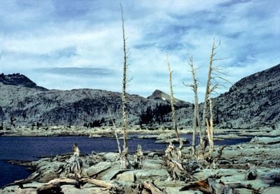
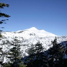
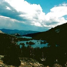
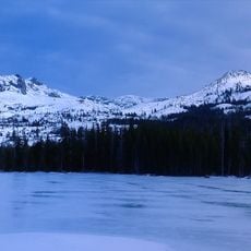
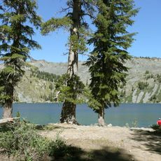
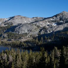
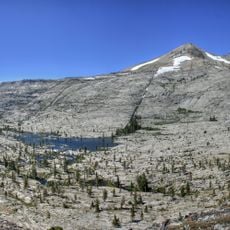
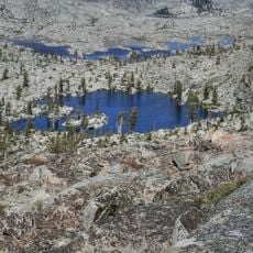
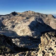
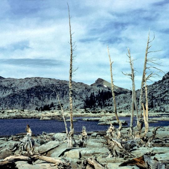
Lake Aloha is a shallow reservoir high in the Sierra Nevada mountains of California, sitting above 8,000 feet (about 2,400 meters) and surrounded by bare granite ridges and open rocky terrain. The water spreads across a broad, flat basin dotted with small rocky outcrops and islands that shift in number depending on the season.
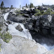
Pyramid Creek was first dammed in 1875 to create Lake Aloha, securing a year-round water source for grazing cattle and inundating a group of natural lakes called the Medley Lakes. The dam was raised and several auxiliary dams were added up to 1955. The reservoir's outflow, Pyramid Creek, runs about four miles south to the South Fork American River near Twin Bridges.
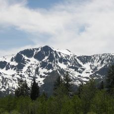
The reservoir lies in Desolation Valley, inside the federally protected Desolation Wilderness, where camping is by permit and groups are limited. The name Aloha was given to the reservoir created in 1875, which submerged the chain of natural lakes called the Medley Lakes. Hikers on the Pacific Crest Trail pass the water on their way toward Price and Pyramid Peaks in the Crystal Range.
The elevation means temperatures can drop quickly even in summer, so bringing warm layers is important regardless of how warm the morning feels. There are no facilities at the water's edge, so visitors should carry everything they need, including plenty of drinking water and a good map of the surrounding trails.
Although it looks like a natural mountain lake, the water body was formed by flooding that merged a series of smaller lakes, which means its shoreline and islands shift noticeably as water levels rise and fall through the year. At its lowest, the lake reveals a scattered pattern of rocky outcrops that were once separate lake beds.
The community of curious travelers
AroundUs brings together thousands of curated places, local tips, and hidden gems, enriched daily by 93,896 contributors worldwide.