Enable Location

We need your location to show you interesting places around you

Discover nearby places

Find interesting locations and hidden gems around you

Precise directions

Get accurate directions and distances to places

Your location is never shared with other users. It's only used when you tap the location button.

Desolation Wilderness

Log in to your account

Start exploring — it's free

Trusted by travelers worldwide

Continue with Google
Continue with Apple
or

We will send you a code to connect

By continuing, you accept our Terms and Conditions and our Privacy Policy

Check your inbox

We've sent a pincode in your inbox. Please enter the code below.

Desolation Wilderness, Protected natural area in El Dorado County, United States.

Description

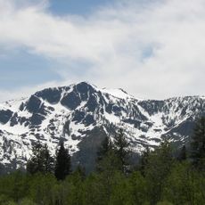
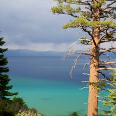
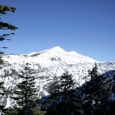
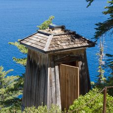
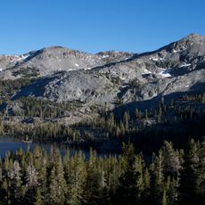
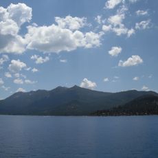
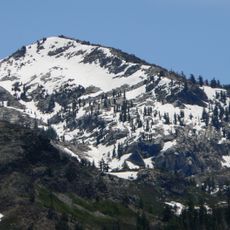
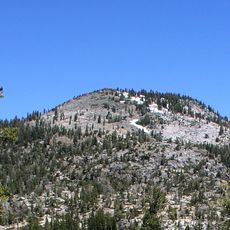
Desolation Wilderness is a protected area west of Lake Tahoe in El Dorado County, featuring granite summits, alpine lakes, and trails spread across roughly 63,960 acres. Elevations range from around 6,500 to 10,000 feet (2,000 to 3,000 meters), with open landscapes of rock and pine forests along lower slopes shaping the terrain.

History

Washoe communities traveled these mountains before the region became a Forest Reserve in the late 1800s. The valley was classified as a primitive area in 1931 and later gained its current wilderness status.

Culture

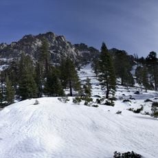
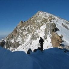
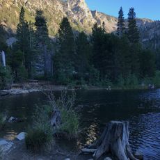
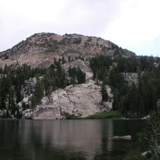
Day hikers and backpackers cross paths on rocky trails between high-elevation lakes, their routes often passing through snowfields and wide tundra landscapes. Many come here to fish in remote waters or camp beneath exposed summits, giving the area a distinct character shaped by these activities.

Practical

Visitors need permits for both day trips and overnight stays, with a quota system in place from late May through September. Trails can remain under snow in early summer, while high-altitude weather shifts rapidly and requires preparation.

Did you know?

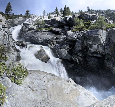
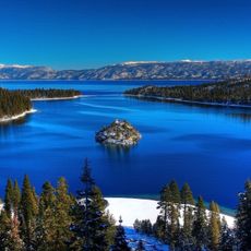
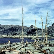
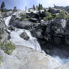
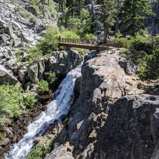
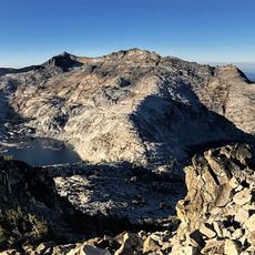
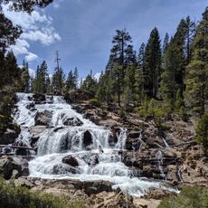
Lake Aloha sits among broad granite slabs and forms a branching water system of shallow bays and small islands. Horsetail Falls drops nearly 500 feet (150 meters) over steep rock walls in multiple sections, drawing attention especially in spring.

Location
Inception
1969
Operator
US Forest Service
GPS coordinates
38.91970,-120.17000
Latest update
December 14, 2025 09:36

AroundUs brings together thousands of curated places, local tips, and hidden gems, enriched daily by 60,000 contributors worldwide. Discover all places nearby (El Dorado County).

« Desolation Wilderness - Protected natural area in El Dorado County, United States » is provided by Around Us (aroundus.com). Images and texts are derived from Wikimedia project under a Creative Commons license. You are allowed to copy, distribute, and modify copies of this page, under the conditions set by the license, as long as this note is clearly visible.

Discover hidden gems everywhere you go!

From secret cafés to breathtaking viewpoints, skip the crowded tourist spots and find places that match your style. Our app makes it easy with voice search, smart filtering, route optimization, and insider tips from travelers worldwide. Download now for the complete mobile experience.

Around Us App Screenshot

A unique approach to discovering new places

Le Figaro

All the places worth exploring

France Info

A tailor-made excursion in just a few clicks

20 Minutes

Around Us
Travel Guide & Maps
Download

Send to your phone

QR Code
1

Open the camera app on your mobile.

2

Point at the QR code with your camera. A notification will appear.

3

Tap the notification to open the link.