Enable Location

We need your location to show you interesting places around you

Discover nearby places

Find interesting locations and hidden gems around you

Precise directions

Get accurate directions and distances to places

Your location is never shared with other users. It's only used when you tap the location button.

Tells Peak

Log in to your account

Start exploring — it's free

Trusted by 61,347 travelers worldwide

Continue with Google
Continue with Apple
or

We will send you a code to connect

By continuing, you accept our Terms and Conditions and our Privacy Policy

Check your inbox

We've sent a pincode in your inbox. Please enter the code below.

Tells Peak

Tells Peak, Mountain summit in Desolation Wilderness, California, US

Description

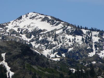
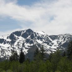
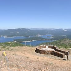
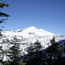
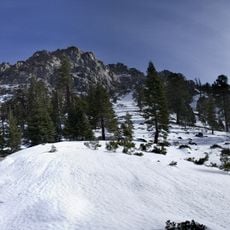
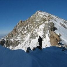
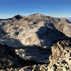
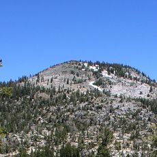
Tells Peak is a mountain summit in the Crystal Range of the Sierra Nevada, located within California's Desolation Wilderness at approximately 2700 meters in elevation. The terrain features rocky ground with steep climbing sections that challenge hikers throughout their ascent.

History

The Highland Trail was established as the main route to the summit and has guided mountaineers through Desolation Wilderness for generations. This historic pathway connects various points across the remote wilderness and reflects the traditional routes that adventurers have followed for decades.

Culture

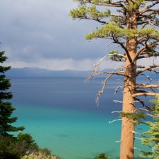
The peak serves as a destination for nature photographers and researchers who document the diverse plant species and geological formations in the area.

Practical

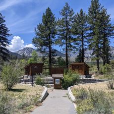
Those planning to stay overnight must obtain permits from Recreation.gov for camping in the area. Day hikes do not require special permits, though visitors should prepare for unpredictable mountain weather conditions.

Did you know?

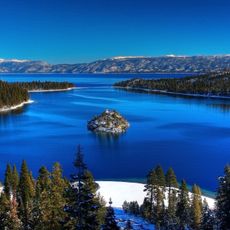
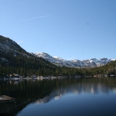
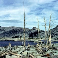
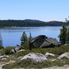
During winter, the nearby Forni Lake freezes solid and creates an unusual natural ice surface. Some mountaineers have used this frozen terrain to create alternative approaches toward the peak.

Location
GPS coordinates
38.95991,-120.25436
Latest update
December 14, 2025 18:04

AroundUs brings together thousands of curated places, local tips, and hidden gems, enriched daily by 60,000 contributors worldwide. Discover all places nearby (California).

« Tells Peak - Mountain summit in Desolation Wilderness, California, US » is provided by Around Us (aroundus.com). Images and texts are derived from Wikimedia project under a Creative Commons license. You are allowed to copy, distribute, and modify copies of this page, under the conditions set by the license, as long as this note is clearly visible.

Discover hidden gems everywhere you go!

From secret cafés to breathtaking viewpoints, skip the crowded tourist spots and find places that match your style. Our app makes it easy with voice search, smart filtering, route optimization, and insider tips from travelers worldwide. Download now for the complete mobile experience.

Around Us App Screenshot

A unique approach to discovering new places

Le Figaro

All the places worth exploring

France Info

A tailor-made excursion in just a few clicks

20 Minutes

Around Us
Travel Guide & Maps
Download

Send to your phone

QR Code
1

Open the camera app on your mobile.

2

Point at the QR code with your camera. A notification will appear.

3

Tap the notification to open the link.