Union Valley Reservoir, reservoir in El Dorado County, California
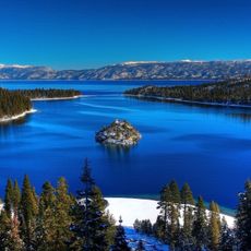
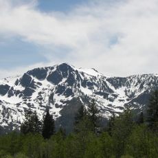
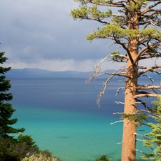
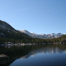
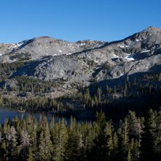
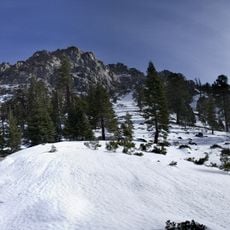
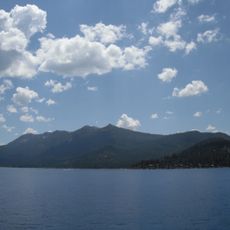
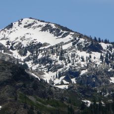
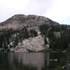
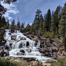
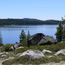
Union Valley Reservoir is a large lake situated in the mountains of El Dorado County, California, at approximately 4,800 feet elevation. The lake is surrounded by dense forest and rocky shorelines, with clear water suitable for boating, fishing, swimming, and water sports.
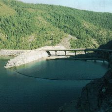
The reservoir was constructed in the past as part of a water management plan to secure water supply and create recreational opportunities. Over time, roads, campgrounds, and boat access points were developed to improve visitor accessibility to the site.
This reservoir serves as a gathering place where families and outdoor enthusiasts connect with nature and escape daily routines. The site reflects a laid-back culture centered on simple pleasures like fishing, camping, and watching sunrises over the water.
The area operates from late spring through early fall with multiple campgrounds offering varied amenities, from basic tent sites to locations with picnic tables and grills. Access is via Ice House Road about 15 miles north of Highway 50, with free boat launches available at several campground locations.
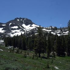
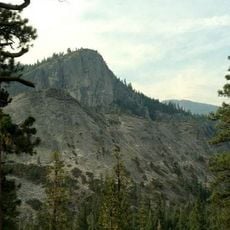
The reservoir is surrounded by newly built mountain biking trails alongside established hiking paths, with a paved route running along the water featuring small bridges and changing views. These varied trails make it easy to explore different areas on foot or by bicycle.
The community of curious travelers
AroundUs brings together thousands of curated places, local tips, and hidden gems, enriched daily by 60,000 contributors worldwide.