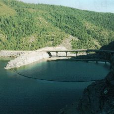
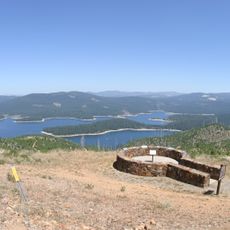
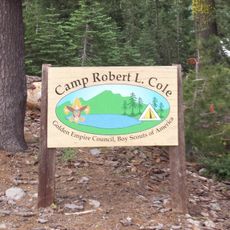
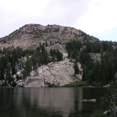
French Meadows Reservoir, body of water
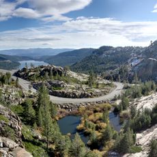
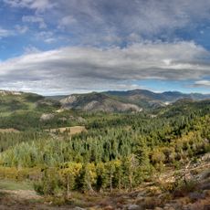
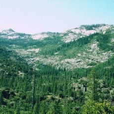
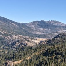
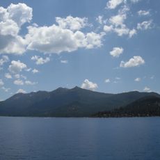
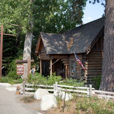
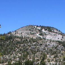
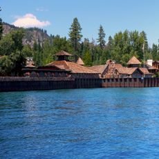
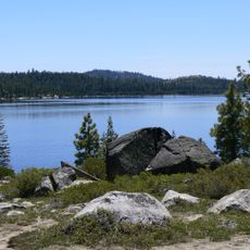
French Meadows Reservoir is a large lake in California's Sierra Nevada region sitting at about 5,200 feet elevation. The water stretches long and narrow through a forested valley, surrounded by campgrounds, picnic areas, and hiking trails.
The reservoir was built decades ago to store water for nearby communities and support water recreation. A forested valley was flooded in the process, now part of the scenic landscape visitors see today.
The name refers to the meadows that once filled this valley before it was flooded to create the reservoir. Today, the place embodies a simple connection to nature, where visitors experience the quiet and the surrounding forest directly.
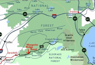
The drive from nearby Foresthill takes about 36 miles on Mosquito Ridge Road, a scenic but narrow route in places. Allow extra time and drive carefully, as the road winds through forested terrain before reaching parking areas near the campgrounds and day-use sites.
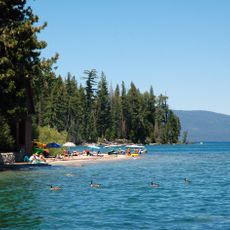
The water is famous among anglers for its abundant trout population, regularly restocked by the Department of Fish and Game with fish between 12 and 22 inches long. The deep underwater river channel provides ideal conditions for fish to hide and feed.
The community of curious travelers
AroundUs brings together thousands of curated places, local tips, and hidden gems, enriched daily by 60,000 contributors worldwide.