Chest opened
+${chestReward.xp} XP
Explorer
NOUVEAU ×${chestReward.collectible.quantity}
tapez pour fermer

See the monuments around you in AR Open chests in the app

Around Us is built for your phone — point your camera at the streets and discover the monuments and places around you in augmented reality. Around Us is built for your phone — chests unlock when you walk, explore and capture nearby places.

Enable Location

We need your location to show you interesting places around you

Discover nearby places

Find interesting locations and hidden gems around you

Precise directions

Get accurate directions and distances to places

Your location is never shared with other users. It's only used when you tap the location button.

Emigrant Gap

Log in to your account

Start exploring — it's free

Trusted by 85,207 travelers worldwide

Continue with Google
Continue with Apple
or

We will send you a code to connect

By continuing, you accept our Terms and Conditions and our Privacy Policy

Check your inbox

We've sent a pincode in your inbox. Please enter the code below.

Emigrant Gap
Discussion Reviews 1 Photos
11.1k Popularity

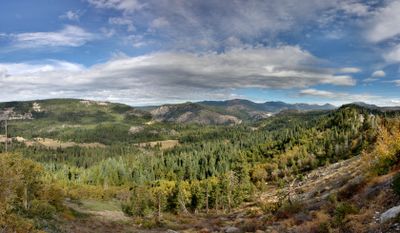
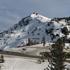
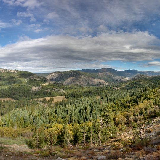
Emigrant Gap, Rail mountain pass in Sierra Nevada, California.

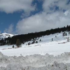
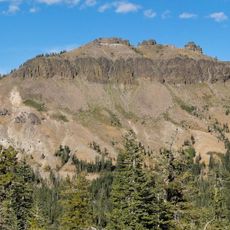
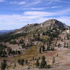
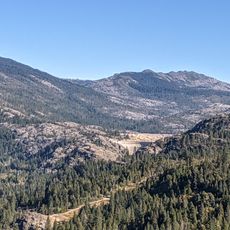
Emigrant Gap is a mountain pass in the Sierra Nevada at about 5,200 feet elevation, featuring steep rocky walls and connecting two different river drainage systems. The pass sits between the American River and Bear River watersheds.

The first documented crossing occurred in 1844 when the Stephens-Townsend-Murphy Expedition traveled through here on their way across the Sierra Nevada. This journey opened the route for settlers who came after them.

The name comes from the pioneers who lowered their wagons here during the 1840s while crossing the mountains. Visitors can sense the challenge these travelers faced at this high mountain point today.

This area receives over 20 feet of annual snowfall, making winter driving particularly difficult and requiring good preparation. Anyone planning to cross during colder months should expect challenging conditions.

The pass was a critical point on the California Trail where early travelers lowered their wagons using ropes down the steep slopes. This rope method was necessary for many expeditions to cross safely.

The community of curious travelers

AroundUs brings together thousands of curated places, local tips, and hidden gems, enriched daily by 60,000 contributors worldwide.
Start exploring
Location
GPS coordinates
39.30300,-120.66600
Latest update
August 29, 2026 21:53
Around this place
Donner Pass
United States of America

Donner Pass

18.5 mi
Interstate 80 in California
United States of America

Interstate 80 in California

2.9 mi
Empire Mine State Historic Park
United States of America

Empire Mine State Historic Park

21.3 mi
Tahoe National Forest
United States of America

Tahoe National Forest

14.7 mi
Hell Hole Reservoir
United States of America

Hell Hole Reservoir

21.3 mi
Scotts Flat Reservoir
United States of America

Scotts Flat Reservoir

14.3 mi
Sugar Pine Reservoir
United States of America

Sugar Pine Reservoir

13.5 mi
French Meadows Reservoir
United States of America

French Meadows Reservoir

17 mi
Castle Peak
United States of America

Castle Peak

17.5 mi
United States of America

Placer County Big Trees Grove

17.6 mi
Granite Chief
United States of America

Granite Chief

21.6 mi
Nevada City Downtown Historic District
United States of America

Nevada City Downtown Historic District

19.1 mi
Lake Spaulding Dam
United States of America

Lake Spaulding Dam

2.1 mi
Donner Peak
United States of America

Donner Peak

18.9 mi
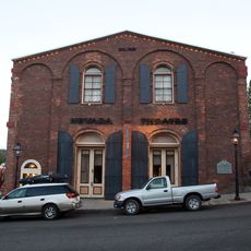
Nevada Theatre
United States of America

Nevada Theatre

19.2 mi
Camp Robert L. Cole
United States of America

Camp Robert L. Cole

9.8 mi
Doris Foley Library for Historical Research
United States of America

Doris Foley Library for Historical Research

19.1 mi
French Lake Reservoir
United States of America

French Lake Reservoir

10.5 mi
United States of America

Mount Lincoln

18.1 mi
Sierra County Sheriff's Gallows
United States of America

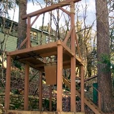
Sierra County Sheriff's Gallows

19.7 mi
Martin Luther Marsh House
United States of America

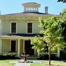
Martin Luther Marsh House

18.5 mi
Trinity Church (Nevada City)
United States of America

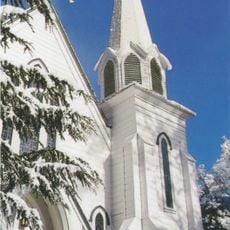
Trinity Church (Nevada City)

18.9 mi
Aaron A. Sargent House
United States of America

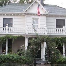
Aaron A. Sargent House

19.2 mi
Ott's Assay Office
United States of America

Ott's Assay Office

18.9 mi
Hospital Bridge
United States of America

Hospital Bridge

20.3 mi
Purdon Crossing Bridge
United States of America

Purdon Crossing Bridge

20.4 mi
Red Mountain Lookout
United States of America

Red Mountain Lookout

7.1 mi
Durgan Bridge
United States of America

Durgan Bridge

19.8 mi
Show the full map
Reviews
Share your experience

No review yet

Discussions
Start a discussion...

No discussion yet

« Emigrant Gap - Rail mountain pass in Sierra Nevada, California » is provided by Around Us (aroundus.com). Images and texts are derived from Wikimedia project under a Creative Commons license. You are allowed to copy, distribute, and modify copies of this page, under the conditions set by the license, as long as this note is clearly visible.

Discover hidden gems everywhere you go!

From secret cafés to breathtaking viewpoints, skip the crowded tourist spots and find places that match your style. Our app makes it easy with voice search, smart filtering, route optimization, and insider tips from travelers worldwide. Download now for the complete mobile experience.
Around Us App Screenshot

A unique approach to discovering new places

Le Figaro

All the places worth exploring

France Info

A tailor-made excursion in just a few clicks

20 Minutes

Around Us
Travel Guide & Maps
Download

Send to your phone

QR Code
1

Open the camera app on your mobile.

2

Point at the QR code with your camera. A notification will appear.

3

Tap the notification to open the link.