Granite Chief, Mountain summit in Placer County, California.
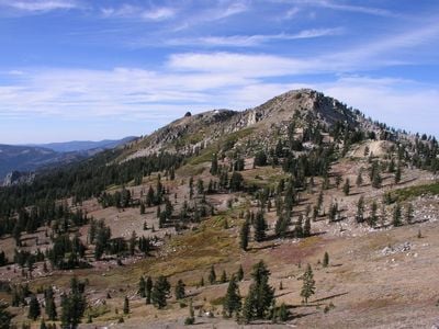
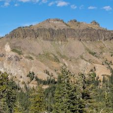
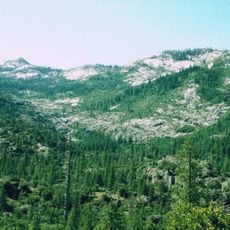
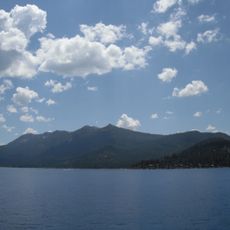
Granite Chief rises to 2,745 meters at the northeast edge of the Granite Chief Wilderness, positioned near the western rim of the Lake Tahoe Basin. The summit sits within a landscape marked by dense forest and exposed granite slopes that characterize the eastern Sierra Nevada.
The peak was recognized as the highest point in Placer County until 2008, when surveyors discovered a previously unidentified elevation point that surpassed it. This revision altered the geographic understanding of the region's topography.
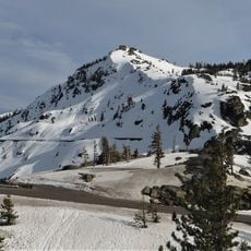
The summit sits beside Palisades Tahoe ski resort, which hosted the 1960 Winter Olympics and remains a gathering place for winter sports enthusiasts. This proximity connects the peak to a location of international sporting significance.
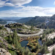
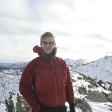
Access to the summit is via a 5.6-mile trail that departs from Olympic Valley and climbs approximately 2,850 feet through mixed forest and granite terrain. Summer and early fall offer the most favorable conditions for hiking, as snow may block the route during winter months.
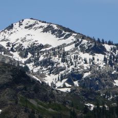
The peak displays pale granite formations that stand in sharp contrast to the darker volcanic rocks of surrounding summits, creating a visual distinction across the range. This geological difference becomes apparent as hikers approach the summit.
The community of curious travelers
AroundUs brings together thousands of curated places, local tips, and hidden gems, enriched daily by 60,000 contributors worldwide.