Placer County, County in California, United States
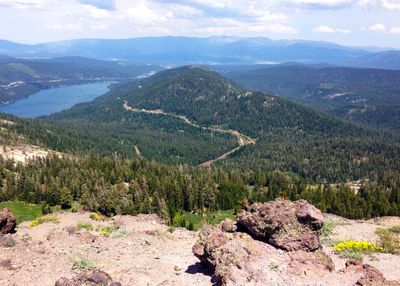
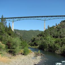
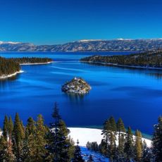
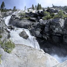
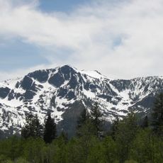
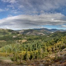
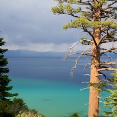
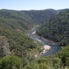
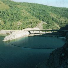
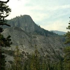
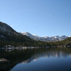
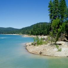
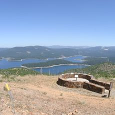
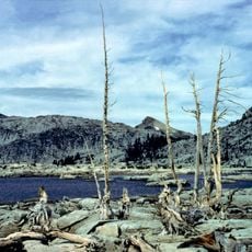
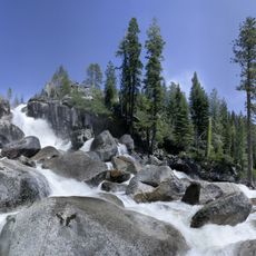
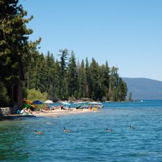
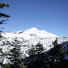
This county covers 3,890 square kilometers and includes three different regions: South Placer with Central Valley lowlands, Gold Country near the Sierra foothills, and the Sierra Nevada mountains. The terrain shifts from flat valleys through gentle hills to forested mountain ranges that divide the county into distinct landscape zones.
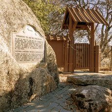
The county was founded in 1851 during the California Gold Rush and took its name from the Spanish word for sand deposits where gold was discovered. Early economy relied on mining and agriculture before shifting toward residential development and services during the 20th century.
The local school landscape forms a dense network of districts that run many high schools within their administrative boundaries. These institutions serve families as central contact points for educational matters and shape daily life across the county's communities.
Interstate 80 and several state highways link the area to larger urban centers and allow passage in different directions. Public transit covers regional routes and helps movement within communities, with buses serving the main lines.
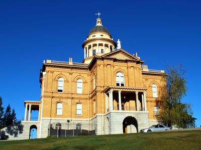
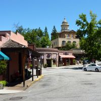
The county courthouse from 1894 remains a working building and continues to house courtrooms, sheriff offices, and educational museums under one roof. Visitors can view the original preserved rooms during regular opening hours and gain insight into the ongoing operations of this historic administrative site.
The community of curious travelers
AroundUs brings together thousands of curated places, local tips, and hidden gems, enriched daily by 60,000 contributors worldwide.