Enable Location

We need your location to show you interesting places around you

Discover nearby places

Find interesting locations and hidden gems around you

Precise directions

Get accurate directions and distances to places

Your location is never shared with other users. It's only used when you tap the location button.

Lake Tahoe Basin Management Unit

Log in to your account

Start exploring — it's free

Trusted by 65,783 travelers worldwide

Continue with Google
Continue with Apple
or

We will send you a code to connect

By continuing, you accept our Terms and Conditions and our Privacy Policy

Check your inbox

We've sent a pincode in your inbox. Please enter the code below.

Discussion Reviews 2 Photos
6.9k Popularity

Lake Tahoe Basin Management Unit, National Forest protection area in Washoe County, United States.

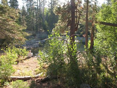
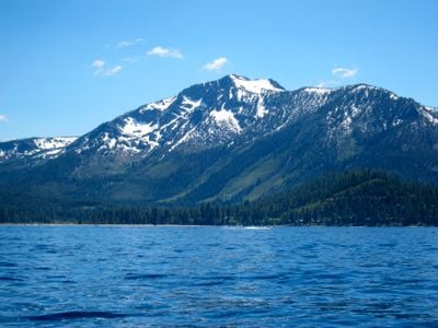
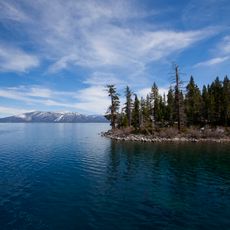
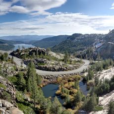
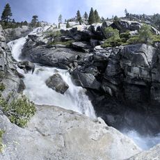
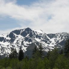
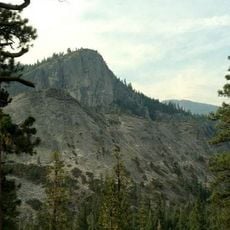
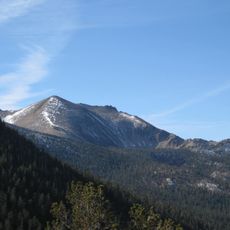
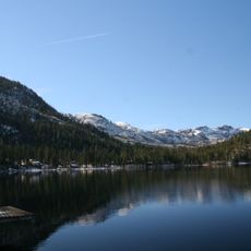
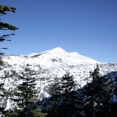
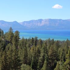
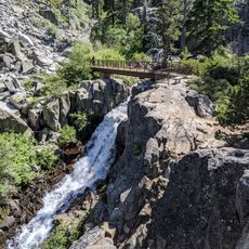
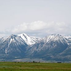
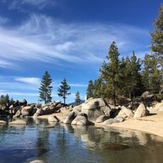
The Lake Tahoe Basin Management Unit is a protected area straddling California and Nevada, covering the lake itself along with the forested mountains and river valleys that surround it. The terrain climbs from the lake shore up through pine and fir forests to the higher ridges of the Sierra Nevada.

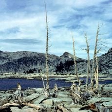
President William McKinley set aside this land as a forest reserve in 1899, at a time when logging had already stripped many of the surrounding hillsides. The unit went through several reorganizations over the following decades before taking its current administrative form in 1973.

The Washoe people have long held this lake and its surrounding forests as a place of gathering and ceremony, and that connection remains present in the way the land is cared for today. Visitors who take the time to read the interpretive signs along the trails can learn about this living relationship between the community and the water.

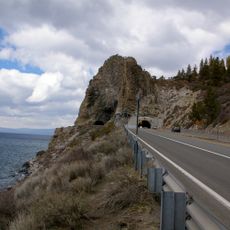
The area is open year-round, but conditions vary a great deal between seasons, so it is worth checking trail and road access before setting out. In winter, snowfall can make some routes impassable without proper gear, while summer mornings are generally the best time to walk before afternoon thunderstorms roll in.

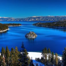
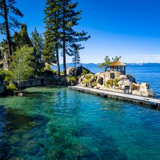
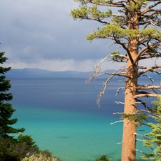
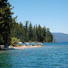
The water in Lake Tahoe is so clear that on calm days you can see the bottom from a boat at depths of more than 65 feet (20 m). Protecting that clarity is one of the main reasons why strict land-use rules apply throughout the entire basin, including limits on what can be built near the shoreline.

The community of curious travelers

AroundUs brings together thousands of curated places, local tips, and hidden gems, enriched daily by 60,000 contributors worldwide.

Start exploring
Location
Location
Location
Operator
United States Forest Service
GPS coordinates
39.00000,-120.00000
Latest update
March 3, 2026 08:18
Reviews
Share your experience

No review yet

Discussions
Start a discussion...

No discussion yet

« Lake Tahoe Basin Management Unit - National Forest protection area in Washoe County, United States » is provided by Around Us (aroundus.com). Images and texts are derived from Wikimedia project under a Creative Commons license. You are allowed to copy, distribute, and modify copies of this page, under the conditions set by the license, as long as this note is clearly visible.

Discover hidden gems everywhere you go!

From secret cafés to breathtaking viewpoints, skip the crowded tourist spots and find places that match your style. Our app makes it easy with voice search, smart filtering, route optimization, and insider tips from travelers worldwide. Download now for the complete mobile experience.

Around Us App Screenshot

A unique approach to discovering new places

Le Figaro

All the places worth exploring

France Info

A tailor-made excursion in just a few clicks

20 Minutes

Around Us
Travel Guide & Maps
Download

Send to your phone

QR Code
1

Open the camera app on your mobile.

2

Point at the QR code with your camera. A notification will appear.

3

Tap the notification to open the link.