Eldorado National Forest, National forest in Sierra Nevada mountains, California, USA.
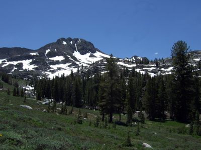
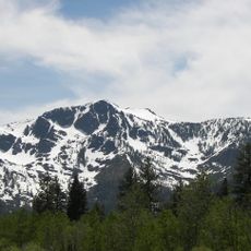
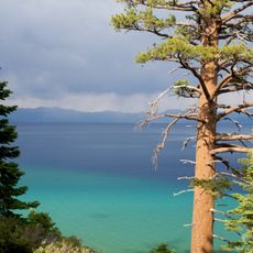
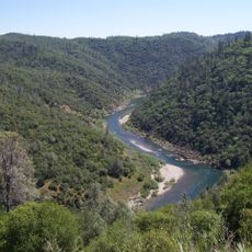
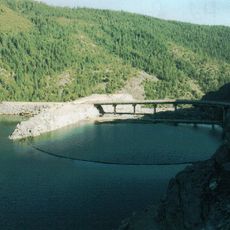
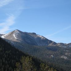
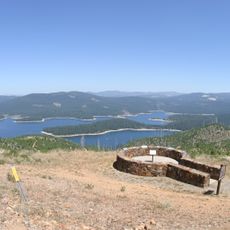
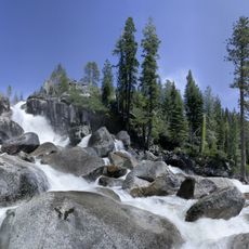
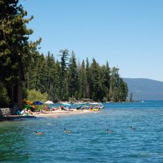
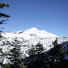
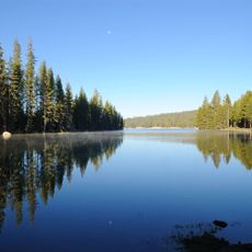
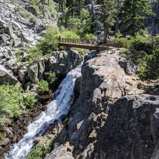
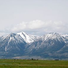
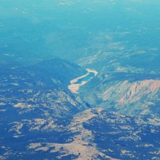
Eldorado National Forest is a protected area in California's Sierra Nevada mountains covering more than 920,000 acres. The landscape includes forests, meadows, rivers, and lakes spread across elevations ranging from 1,000 to 10,000 feet, connected by an extensive network of roads and trails.
Protection of this forest was established in 1910 by the United States Forest Service, at a time when the region was moving away from its Gold Rush mining era. This designation marked a turning point when conservation of natural resources became a priority.
Native American tribes, particularly the Washoe and Miwok peoples, maintained deep ties to this land over centuries. Visitors walking through the forest can sense the ongoing presence of these communities in the region.
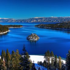
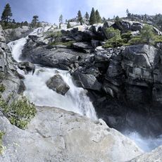
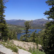
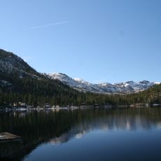
The forest has 70 developed recreation facilities that make it easy to access various areas throughout the year. Anglers and hikers will find over 600 miles of fishable streams and 297 lakes to explore.
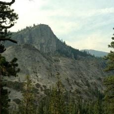
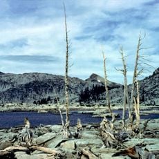
The forest contains more than 120,000 acres of old-growth Sierra Nevada mixed conifer forests that remain largely undisturbed. These ancient stands offer visitors a window into forest ecosystems as they existed for centuries.
The community of curious travelers
AroundUs brings together thousands of curated places, local tips, and hidden gems, enriched daily by 60,000 contributors worldwide.