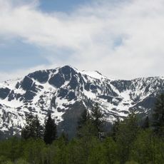
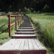
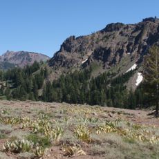
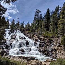
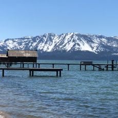
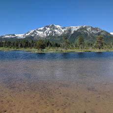
Carson Pass, Mountain pass in Alpine County, California.
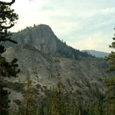
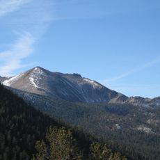
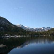
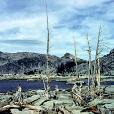
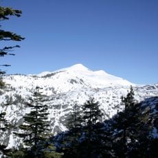
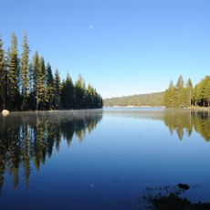
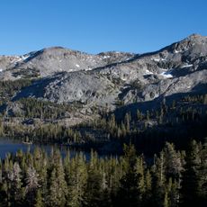
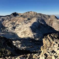
Carson Pass is a mountain pass at 2,613 meters on the crest of the central Sierra Nevada in California, crossed by State Route 88. The pass lies on the Great Basin Divide, with the West Fork Carson River to the east and the South Fork American River to the west. A pale grey and tan ridge of broken rock rises above scattered conifers, with a dark blue mountain lake below and forested slopes beyond.
The 1844 Frémont Expedition crossed here on February 21 after Washoe Indians warned against the winter snow; the party ate dogs, horses and mules but reached Sutter's Fort on March 6 without fatalities. In summer 1848 Mormons leaving California for Utah built the Carson Trail from Sly Park to the Carson Valley via the pass, and it became a primary Gold Rush route. Brigham Young evacuated Mormon settlers around the pass in July 1857 after the Utah War broke out.
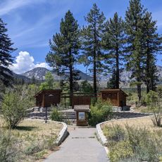
The pass takes its name from Kit Carson, the guide of Frémont's 1844 expedition. A California Historical Landmark, #315, marks the spot at CA 88 postmile 6.09 where Carson carved his name into a tree. West of the pass lies Maiden's Grave, where Rachel Melton, traveling from Iowa in 1850, was buried after falling ill.
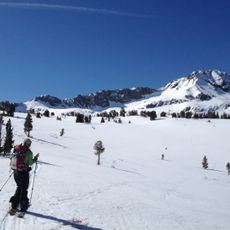
The pass is crossed by California State Route 88 at postmile 6.09, where California Historical Landmark #315 stands. The Pacific Crest Trail crosses the summit, and the pass lies on the Great Basin Divide. Snow can block the road in winter, so check conditions before driving.
The 1844 Frémont Expedition crossed in winter after Washoe guides warned against it; the party found no game and ate its dogs, horses and mules, yet reached Sutter's Fort on March 6 without a single death. Frémont and cartographer Charles Preuss had climbed Red Lake Peak on February 14, becoming the first recorded white men to see Lake Tahoe.
The community of curious travelers
AroundUs brings together thousands of curated places, local tips, and hidden gems, enriched daily by 93,805 contributors worldwide.