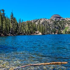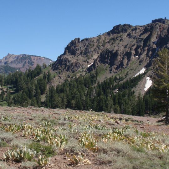
Ebbetts Pass, Mountain pass in Alpine County, US.
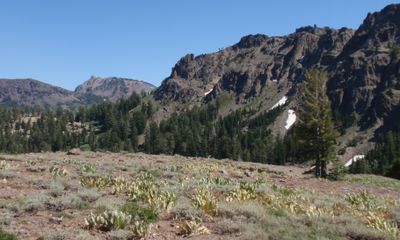
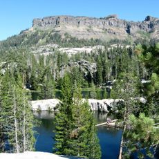
Ebbetts Pass is a broad saddle at 8,736 feet (2,663 m) in the Sierra Nevada, crossed by State Route 4. The road over the pass is a 23-mile stretch between Lake Alpine and Centerville Flat that is less than two lanes wide and has no dividing line. It has very steep sections with hairpin corners, and the eastern slope has blind corners that steepen suddenly at the apex.
John Ebbetts, a fur trader guiding Forty-niners, claimed to have led pack mules over the Sierra near this pass in April 1851 and thought it fit for a transcontinental railroad, but later surveys found it unsuitable. He died in the 1854 steamboat Secretary explosion before surveying a road. The pass was officially named for him in 1893. A toll road reached it in 1862–1864 to supply Silver City miners.
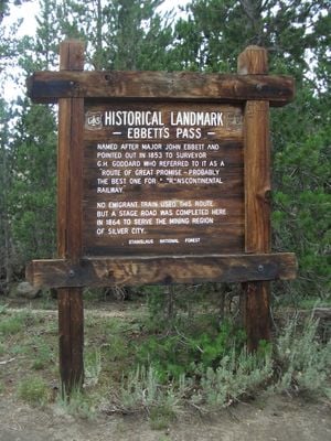
The pass carries John Ebbetts's name, though the U.S. Geological Survey only made it official in 1893 when surveying the Markleeville quadrangle. A wooden sign between posts marks it as a California Historical Landmark and quotes surveyor G.H. Goddard's 1853 note calling it a "route of great promise" for a transcontinental railway. The Pacific Crest Trail crosses State Route 4 here.
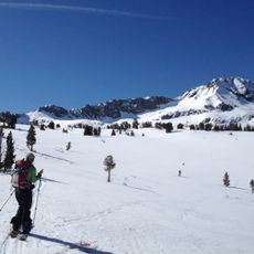
The road is typically closed from November through May due to heavy snow and is impassable for larger vehicles. Trucks or RVs longer than 25 feet cannot safely navigate the hairpin turns and tight sections.
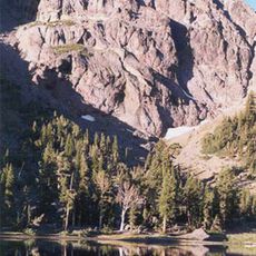
The pass gives its name to Ebbetts Pass Granodiorite, a Late Cretaceous rock unit identified during a 1957 geological survey of the pass. The Pacific Crest Trail, a 2,650-mile National Scenic Trail, crosses State Route 4 right at the summit saddle.
The community of curious travelers
AroundUs brings together thousands of curated places, local tips, and hidden gems, enriched daily by 93,139 contributors worldwide.