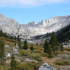
Sonora Peak, Mountain summit in the Sierra Nevada, California, United States
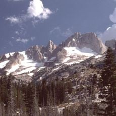
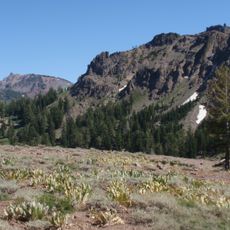
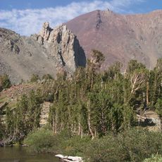
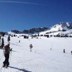
Sonora Peak is a mountain on the Alpine–Mono county line in the Central Sierra Nevada, north of Sonora Pass. It is the highest point in Alpine County. Because of its high elevation, most precipitation on the mountain falls as snow.
Sonora Peak lies on the Alpine–Mono county line, and the pass below it was long used by Paiute groups moving between the eastern and western sides of the Sierra Nevada. The peak is the highest point in Alpine County. The Pacific Crest Trail crosses Sonora Pass at the mountain's southern foot.
The mountain serves as a geographic boundary marker between Alpine and Mono Counties, reflecting California's territorial organization within the Sierra Nevada range.
The most direct ascent starts at the PCT trailhead on Sonora Pass, about 2 miles south of the summit as the crow flies: roughly 2.5 miles and 1,000 feet of gain to a pass, then northwest along the ridge, where a small trail leads to the top. A second class 1 route comes from the Saint Mary's Pass trailhead on the northwestern side.
Sonora Peak is the highest point in Alpine County, a fact not obvious from Sonora Pass, where the county line crosses below the summit. The peak sits on the Alpine–Mono county boundary, and its high elevation means most precipitation arrives as snow.
The community of curious travelers
AroundUs brings together thousands of curated places, local tips, and hidden gems, enriched daily by 93,761 contributors worldwide.