Stanislaus National Forest, National forest in Sierra Nevada, California, US
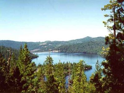
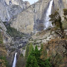
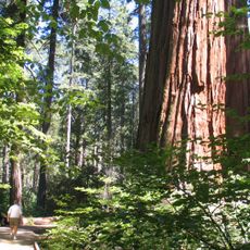
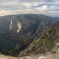
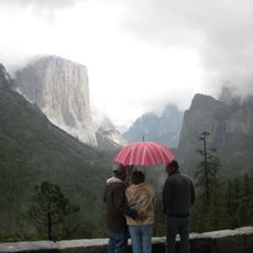
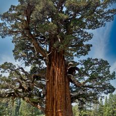
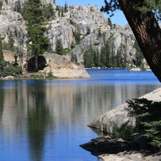
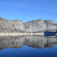
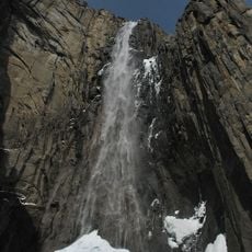
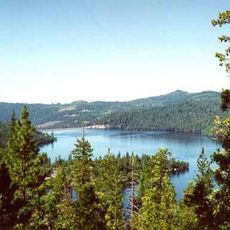
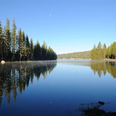
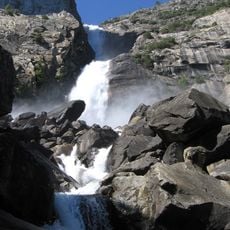
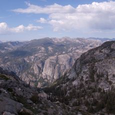
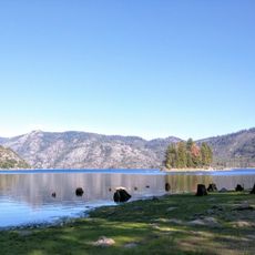
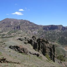
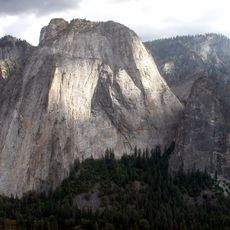
Stanislaus National Forest is a protected woodland in the Sierra Nevada mountains of California, spanning elevations from foothill chaparral to peaks of bare rock. Within its boundaries, stands of pine alternate with granite outcrops, river channels, and mountain lakes.
The United States Forest Service established this area on February 22, 1897, one of the first such decisions in the American West. Administrators later expanded the boundaries and incorporated neighboring wilderness zones under federal oversight.
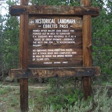
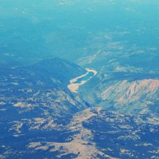
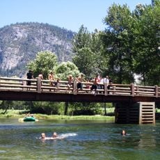
The forest takes its name from the Stanislaus River, which Spanish explorers named after a local Ojibwe leader. Visitors walking through the ranger stations today find traces of indigenous communities who used these mountain slopes long before official designation.
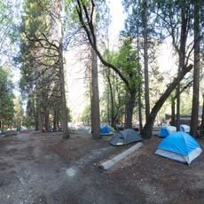
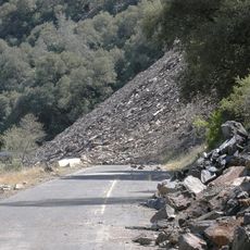
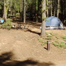
Trails and campgrounds are accessible through ranger stations in Groveland, Hathaway Pines, and Pinecrest, which also provide maps and current conditions. In winter, high elevations often require snow chains, while summer opens most zones to visitors.
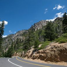
The entire Emigrant Wilderness lies within these boundaries, along with parts of the Carson-Iceberg and Mokelumne Wildernesses, displaying granite peaks alongside volcanic formations. Hikers occasionally find remnants of old cabins left by prospectors in remote valleys.
The community of curious travelers
AroundUs brings together thousands of curated places, local tips, and hidden gems, enriched daily by 60,000 contributors worldwide.