Enable Location

We need your location to show you interesting places around you

Discover nearby places

Find interesting locations and hidden gems around you

Precise directions

Get accurate directions and distances to places

Your location is never shared with other users. It's only used when you tap the location button.

Sonora Pass

Log in to your account

Start exploring — it's free

Trusted by 60,665 travelers worldwide

Continue with Google
Continue with Apple
or

We will send you a code to connect

By continuing, you accept our Terms and Conditions and our Privacy Policy

Check your inbox

We've sent a pincode in your inbox. Please enter the code below.

Sonora Pass

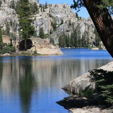
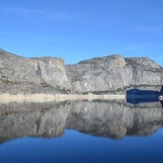
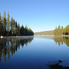
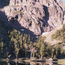
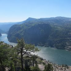
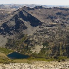
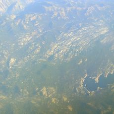
Sonora Pass, Mountain pass in Sierra Nevada, United States

Description

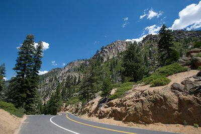
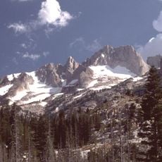
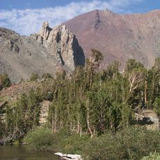
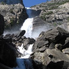
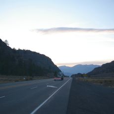
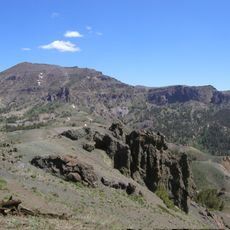
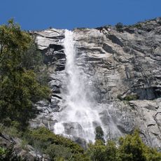
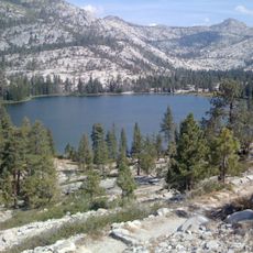
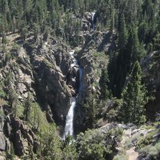
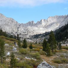
Sonora Pass is a mountain pass in the Sierra Nevada where State Route 108 crosses at an elevation of 2933 meters (9623 feet). The road connects Alpine County with Mono County and passes through mountain terrain with several viewpoints and natural transitions.

History

The pass became an essential route during the California Gold Rush, when miners and settlers needed to move between eastern and western parts of the Sierra Nevada. This traffic shaped the early development of the surrounding region.

Culture

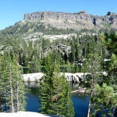
The Pacific Crest Trail crosses through Sonora Pass, drawing long-distance hikers who travel the mountain terrain during summer months. This route connects different regions and gives hikers a natural pathway through the mountains.

Practical

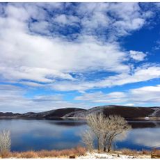
The pass closes from November to April due to snow and winter conditions, with snow removal beginning the first Monday in April. Visitors should prepare for strong winds, harsh conditions, and limited services, especially outside the warmer months.

Did you know?

Near the pass, the United States Marine Corps operates a Mountain Warfare Training Center where soldiers learn high-altitude tactics. This military facility blends training operations with the natural mountain landscape, and most travelers never notice it.

Location
Location
Location
Elevation above the sea
2,933 m
GPS coordinates
38.32780,-119.63600
Latest update
December 7, 2025 19:29

AroundUs brings together thousands of curated places, local tips, and hidden gems, enriched daily by 60,000 contributors worldwide. Discover all places nearby (Alpine County).

« Sonora Pass - Mountain pass in Sierra Nevada, United States » is provided by Around Us (aroundus.com). Images and texts are derived from Wikimedia project under a Creative Commons license. You are allowed to copy, distribute, and modify copies of this page, under the conditions set by the license, as long as this note is clearly visible.

Discover hidden gems everywhere you go!

From secret cafés to breathtaking viewpoints, skip the crowded tourist spots and find places that match your style. Our app makes it easy with voice search, smart filtering, route optimization, and insider tips from travelers worldwide. Download now for the complete mobile experience.

Around Us App Screenshot

A unique approach to discovering new places

Le Figaro

All the places worth exploring

France Info

A tailor-made excursion in just a few clicks

20 Minutes

Around Us
Travel Guide & Maps
Download

Send to your phone

QR Code
1

Open the camera app on your mobile.

2

Point at the QR code with your camera. A notification will appear.

3

Tap the notification to open the link.