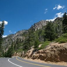
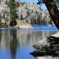
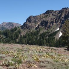
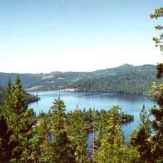
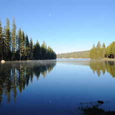
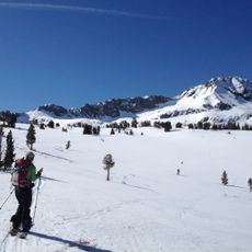
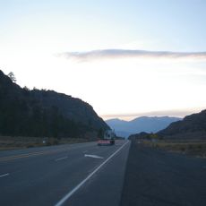
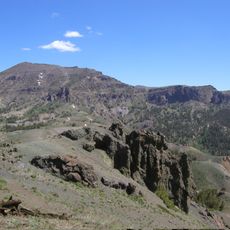
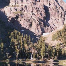
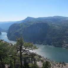
Dardanelles Cone, Volcanic summit in Alpine County, California.
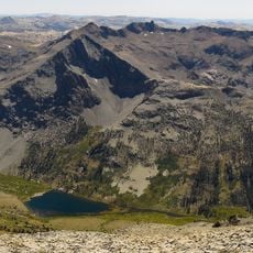
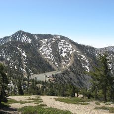
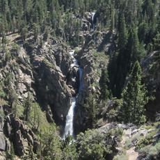
Dardanelles Cone is a volcanic peak reaching 2,905 metres in the Carson-Iceberg Wilderness of Stanislaus National Forest, near Sonora Pass between State Routes 4 and 108. Its volcanic rock stands out against the forested granite terrain around it, and it rises about 434 metres above the surrounding ridges.
The cone formed during the Tertiary period through ancient volcanic eruptions that shaped much of the Sierra Nevada region, leaving behind geological evidence of powerful eruptive forces that occurred millions of years ago.
The name Dardanelles Cone echoes the Dardanelles strait, a label also given to the nearby Dardanelles, a cluster of volcanic plugs along the Sonora Pass road. The peak lies in the Carson-Iceberg Wilderness, where hikers on the Pacific Crest Trail pass below it between State Routes 4 and 108.
Access requires hiking through remote wilderness trails starting from Arnot Creek trailhead, with climbers needing proper navigation equipment, adequate water supplies, and preparation for unstable slopes and rapidly changing alpine weather conditions.
Dardanelles Cone rises 434 metres above the surrounding terrain and its base spans about 6.9 kilometres, figures that set it apart from neighbouring summits. Stanislaus Peak, the highest point in the vicinity, lies 18 kilometres to the east. The nearest town is Bear Valley, about 16 kilometres away.
The community of curious travelers
AroundUs brings together thousands of curated places, local tips, and hidden gems, enriched daily by 93,633 contributors worldwide.