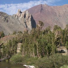
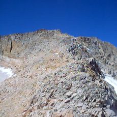
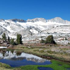
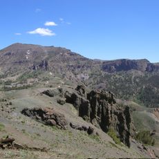
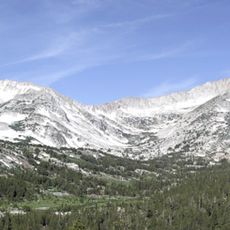
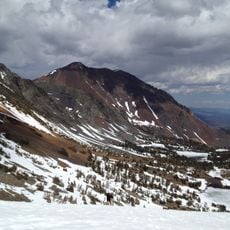
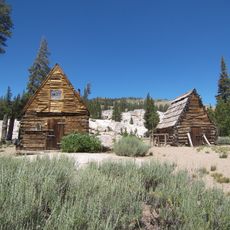
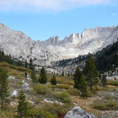
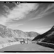
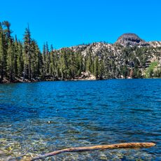
Devil's Gate Pass, Mountain pass in Mono County, California.
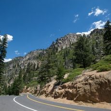
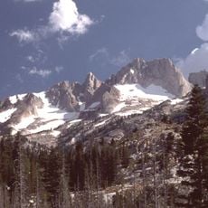
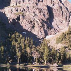
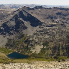
Devil's Gate Pass is a road mountain pass in Mono County, California, crossed by U.S. Route 395 a few miles east of Sonora Junction, where State Route 108 branches toward Sonora Pass. The summit of the highway through the pass is 2,275 meters. The pass takes its name from the Devils Gate, a granitic formation west of the summit; the Sierra Nevada rise to the west and south, and the Sweetwater Mountains spur northeast.
The pass was crossed in 1844 by John C. Frémont during his survey expedition through the Nevada Basin. His journey through extreme mountain conditions forced him to abandon one of his cannons along the route.
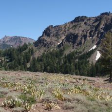
The pass takes its name from the Devils Gate, a granitic formation west of the summit. The surrounding land is used differently on each side: pasture on the west, private homes on the east. From 1981 to 1999 the Virginia Lakes Pack Outfit ran a pack station at the pass for deer hunters.
Most land on either side of U.S. Route 395 through the pass is privately owned, so get a Toiyabe National Forest service map before leaving the highway; it colours public and private land. Public access beyond the road runs via Burcham Flat Road and Little Walker Road. Watch for deer crossing signs: mule deer cross U.S. 395 near the pass regularly.
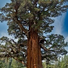
Western junipers near the summit reach up to 1,500 years old, and dead juniper snags have been dated to 2,200 years in a tree-ring lab at the University of Nevada, Reno. Jeffrey pines over 400 years old have also been verified by core samples.
The community of curious travelers
AroundUs brings together thousands of curated places, local tips, and hidden gems, enriched daily by 93,243 contributors worldwide.