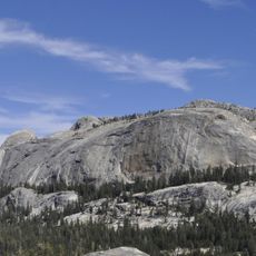
Mount Conness, Mountain summit in Yosemite National Park, USA
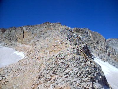
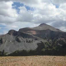
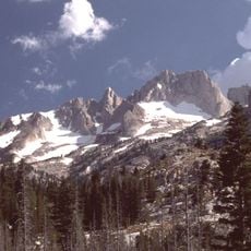
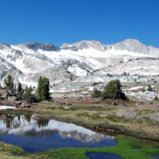
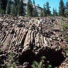
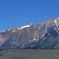
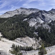
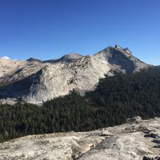
Mount Conness is a mountain peak in the Sierra Nevada on the eastern boundary of Yosemite National Park. The summit rises approximately 12,590 feet and its north ridge forms a sharp dividing line along the park edge, with a small glacier visible in the higher rocky terrain.
The first recorded ascent took place in 1864 when surveyors Clarence King and James T. Gardiner climbed it as part of their work mapping the Sierra Nevada. Their expedition contributed to the early scientific understanding of the region's geology and geography.
The mountain bears the name of John Conness, a California legislator and United States Senator who supported the establishment of the California Geological Survey.
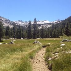
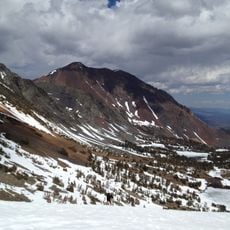
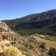
Most climbs follow a route from Saddlebag Lake that intermediate climbers can manage, with the best conditions from July through September. The summit requires some rock scrambling and narrow ridge sections, so plan for a full day and bring water, sun protection, and layered clothing for changing mountain conditions.
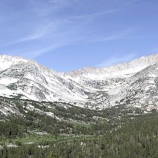
The north ridge features several exposed sections and knife-edge passages that demand careful footwork and create the most memorable part of the climb. From the top, climbers gain sweeping views of Yosemite Valley far below and the jagged wilderness of surrounding peaks that few casual hikers ever see.
The community of curious travelers
AroundUs brings together thousands of curated places, local tips, and hidden gems, enriched daily by 60,000 contributors worldwide.