Mount Dana, Mountain summit in Yosemite National Park, United States
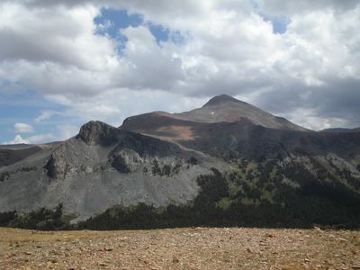
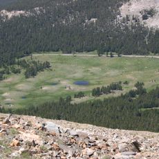
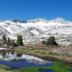
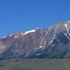
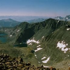
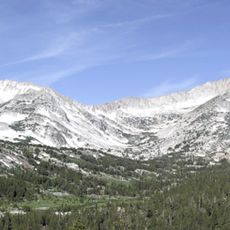
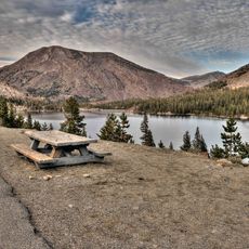
Mount Dana rises to 13,061 feet as the second highest peak in Yosemite National Park with steep rocky slopes. Its summit area connects to alpine meadows below, surrounded by metamorphic rock from the Mesozoic era.
The mountain was named in the nineteenth century after Professor James Dwight Dana, a prominent Yale geologist and naturalist. The naming honors his major contributions to earth science and his work studying America's wilderness.
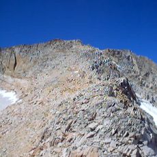
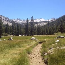
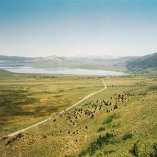
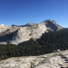
The mountain draws climbers seeking a serious test of their abilities in the high country. Many use the ascent to acclimate before attempting other nearby alpine summits.
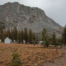
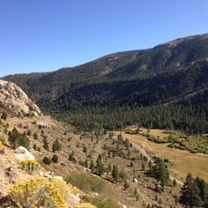
The hiking trail begins at Tioga Pass Road and demands proper altitude training and equipment for steep terrain. Start early to take advantage of stable weather and return before daylight fades.
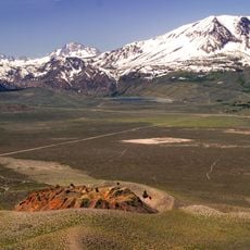
The Dana Glacier on the northern face is one of the last remaining ice formations in the Yosemite area and shows how high-altitude landscapes shift over time. These glacier remnants are scarce in the park region and offer a glimpse into older climate patterns.
Location: Tuolumne County
Location: Mono County
Location: California
Part of: Sierra Peaks Section Peaks List, Vagmarken Club Sierra Crest List
GPS coordinates: 37.89986,-119.22113
Latest update: December 8, 2025 13:42
Tioga Pass
3.5 km
Mount Conness
11.5 km
Panum Crater
15.8 km
Conness Glacier
11.6 km
Tioga Pass Entrance Station
3.4 km
Parsons Memorial Lodge
13 km
Lyell Canyon
8.1 km
Mount Gibbs
2.7 km
Mono Basin National Scenic Area
15.3 km
Soda Springs Cabin
12.9 km
Bloody Canyon
6.1 km
Great Sierra Mine Historic Site
5.2 km
Tuolumne Meadows Ranger Stations and Comfort Stations
12.1 km
Kuna Peak
9.8 km
Koip Peak
9.8 km
Parsons Peak
15.7 km
Hall Natural Area
9.2 km
Unicorn Peak
15.4 km
Blacktop Peak
12 km
Vogelsang High Sierra Camp
16 km
Lee Vining Canyon
5.3 km
McCauley Cabin
13 km
Tuolumne Meadows Campground
12.4 km
Tuolumne Meadows Ranger Station
11.1 km
Tuolumne Meadows Bridge
12 km
Tioga Lake Overlook
3.8 km
Tioga Pass Road Valley View
4.7 km
Lee Vining Canyon Bridge
4.8 kmVisited this place? Tap the stars to rate it and share your experience / photos with the community! Try now! You can cancel it anytime.
Discover hidden gems everywhere you go!
From secret cafés to breathtaking viewpoints, skip the crowded tourist spots and find places that match your style. Our app makes it easy with voice search, smart filtering, route optimization, and insider tips from travelers worldwide. Download now for the complete mobile experience.
A unique approach to discovering new places❞
— Le Figaro
All the places worth exploring❞
— France Info
A tailor-made excursion in just a few clicks❞
— 20 Minutes