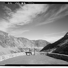
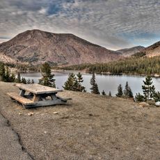
Lyell Canyon, High-altitude canyon in Yosemite National Park, California.
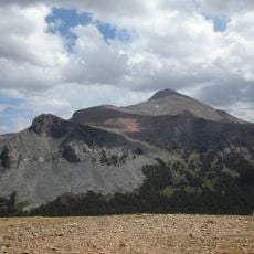
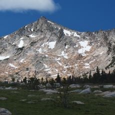
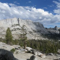
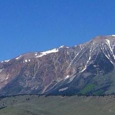
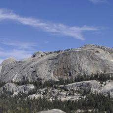
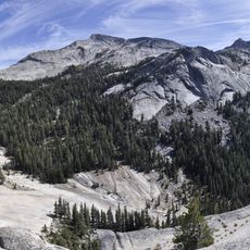
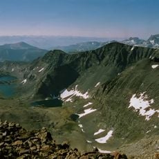
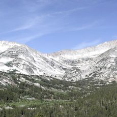
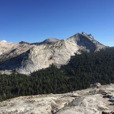
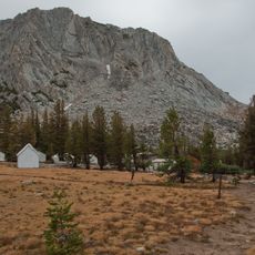
Lyell Canyon is a high-altitude valley in Yosemite National Park that stretches across subalpine meadows and forested areas, following the Lyell Fork of the Tuolumne River. The terrain gradually rises through this corridor, with steep granite ridges framing the landscape on both sides.
The canyon was named after Charles Lyell, a 19th-century geologist whose work shaped modern understanding of Earth sciences. His theories about geological change had broad influence on the scientific community of his time.
The canyon carries the John Muir Trail and the Pacific Crest Trail along the Lyell Fork, so thru-hikers bound for Donohue Pass and the Sierra crest share the meadow with day walkers from Tuolumne Meadows. The name Lyell comes from Charles Lyell, the 19th-century geologist and friend of Charles Darwin; Mount Lyell to the west carries the same name.
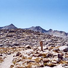
The hike from the Tuolumne Meadows campground into the canyon is easy, and the John Muir Trail and Pacific Crest Trail both run through it. The valley floor stays near 8,000 feet for about 8 miles before the climb to Donohue Pass at 10,826 feet, the eastern boundary of Yosemite. Carry water and layers for the altitude.
The elevation rises from about 8,000 feet to 10,826 feet at Donohue Pass, creating distinct ecological zones within the canyon. This dramatic change in altitude allows visitors to experience multiple ecosystems during a single hike.
The community of curious travelers
AroundUs brings together thousands of curated places, local tips, and hidden gems, enriched daily by 93,412 contributors worldwide.