Medlicott Dome, Granite dome summit in Yosemite National Park, California, US
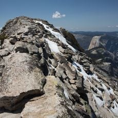
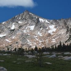
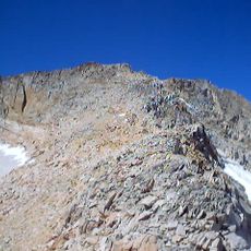
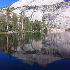
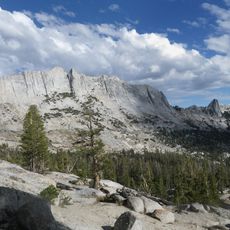
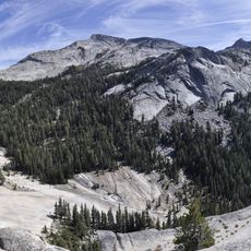
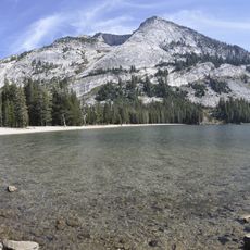
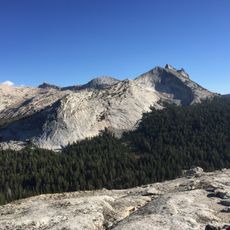
Medlicott Dome is a granite dome in the Sierra Nevada, on the boundary between Mariposa and Tuolumne counties within Yosemite National Park's wilderness. It reaches 3,012 metres (about 9,882 feet) and lies on the southeast side of Tioga Road, between Mariolumne Dome and Dozier Dome, near Pywiack Dome and the Cathedral Lakes.
The peak was recorded as "Court House Rock" in 1870. In 1882 a mining publication called it "Mount Medlicott", after Henry P. Medlicott, a judge and US Deputy Mineral Surveyor from Lundy, California, who that year surveyed the Great Sierra Wagon Road (now Tioga Road) with H. B. Carpenter. The present name was first recorded in 1883 and appeared on a quadrangle map in 1956.
The dome's name comes from Henry P. Medlicott, a judge and US Deputy Mineral Surveyor from Lundy, California, who surveyed the Great Sierra Wagon Road with H. B. Carpenter in 1882. Earlier names recorded for the peak were Court House Rock in 1870 and Mount Medlicott in a mining publication of 1882.
Access starts from the John Muir - Cathedral Lakes Trailhead, with a 7.5-mile (12-kilometer) route that climbs significantly through the Sierra Nevada. Visitors should be prepared for rough conditions and bring appropriate gear for uneven terrain.
The name first appeared in print in 1883, but it took until 1956 for it to reach a quadrangle map. Before that, the 1870 record called the peak Court House Rock, and an 1882 mining publication used Mount Medlicott.
The community of curious travelers
AroundUs brings together thousands of curated places, local tips, and hidden gems, enriched daily by 93,428 contributors worldwide.