Mount Hoffmann, Mountain summit in Mariposa County, United States.
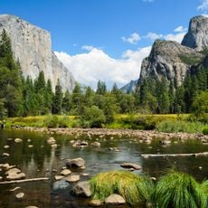
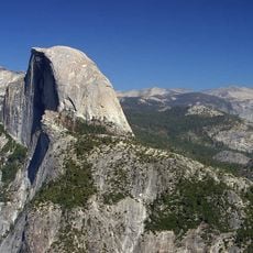
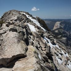
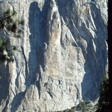
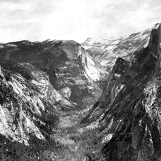
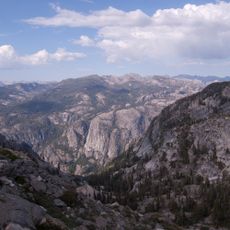
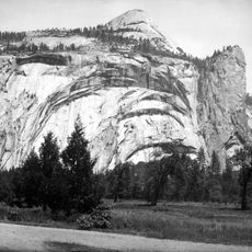
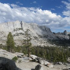
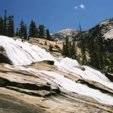
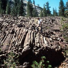
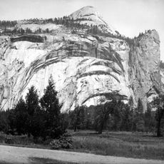
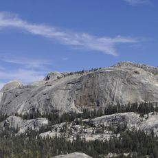
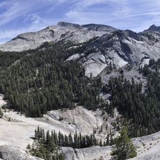
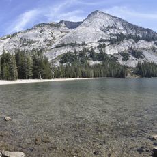
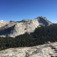
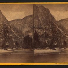
Mount Hoffmann is a summit in Mariposa County within Yosemite National Park in California. The peak displays prominent granite cliffs and rocky formations that characterize its slopes.
The mountain was named for Charles F. Hoffmann, a cartographer with the California Geological Survey who explored the Sierra Nevada in the mid-1800s. Its recorded ascent by John Muir in 1869 established the peak as a landmark in California mountaineering history.
The peak's name honours Charles F. Hoffmann, the cartographer of the California Geological Survey who mapped the Sierra Nevada. John Muir recorded camping on the summit on 26 July 1869 in Un été dans la Sierra (1911), calling it "Mount Hoffman". The summit lies in the Yosemite Wilderness, above May Lake.
The climb follows a trail roughly 12 kilometers long from Tioga Pass Road that passes near May Lake. Hikers should prepare for steep terrain, loose rocks, and changing weather conditions typical of high mountain areas.
The 3,307-metre summit is named after Charles F. Hoffmann, the cartographer of the California Geological Survey who mapped the Sierra Nevada. John Muir recorded camping on the summit on 26 July 1869 in Un été dans la Sierra, published in 1911.
The community of curious travelers
AroundUs brings together thousands of curated places, local tips, and hidden gems, enriched daily by 93,432 contributors worldwide.