Yosemite National Park, National Park in Sierra Nevada Mountains, California
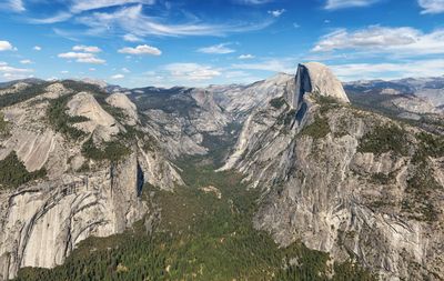
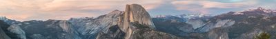
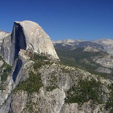
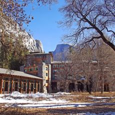
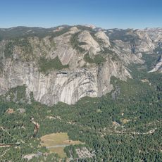
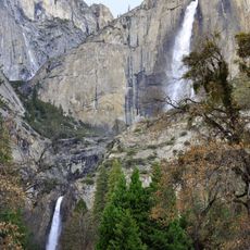
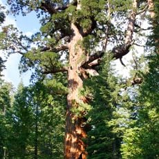
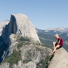
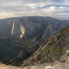
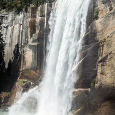
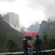
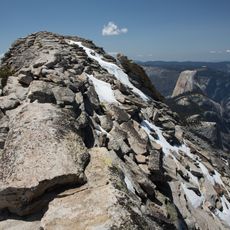
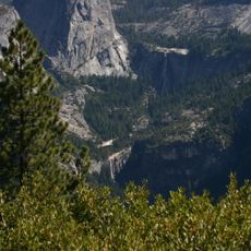
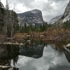
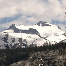
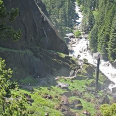
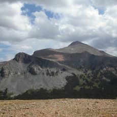
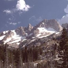
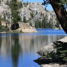
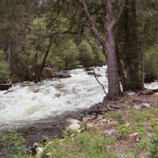
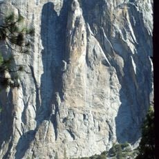
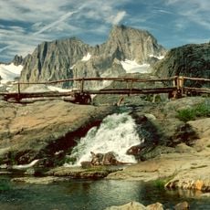
Yosemite National Park is a protected area in the Sierra Nevada of California covering roughly 1,200 square miles (3,100 square kilometers) with granite walls, waterfalls, sequoia groves, and alpine meadows. The Merced River runs through the central valley as waterfalls like Yosemite Falls and Bridalveil Fall pour down sheer rock faces, while formations such as El Capitan and Half Dome shape the landscape between 2,000 and 13,000 feet (600 to 4,000 meters) elevation.
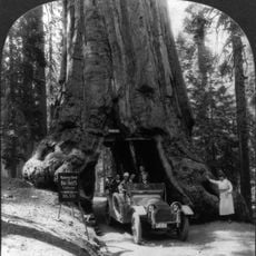
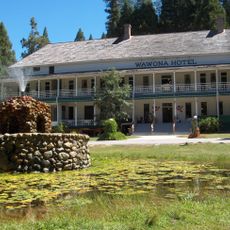
Congress signed the Yosemite Grant in 1864, placing the valley and Mariposa Grove under state protection before campaigns by John Muir led to its designation as a national park in 1890. The Civilian Conservation Corps built roads and facilities during the Depression, and UNESCO granted World Heritage status in 1984 for its geological formations.
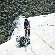
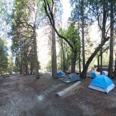
Visitors experience the meeting of generations who share meals at camp tables, swap trail stories around fire rings, and watch climbers inch up vertical walls with binoculars. Rangers lead evening programs where families gather under open sky, learning how people and wilderness depend on each other.
Access comes through several roads, though western entrances often close in winter and snow chains become necessary at higher elevations. Shuttle buses run through the valley during summer, while overnight spots require booking months ahead, especially for weekends between May and September.
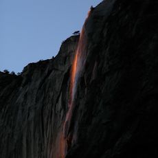
Firefalls appear each February for a few weeks when setting sun lights Horsetail Fall orange and creates the illusion of flowing lava. This natural display draws photographers who wait for the right angle, though clear skies and enough water flow must align at once.
The community of curious travelers
AroundUs brings together thousands of curated places, local tips, and hidden gems, enriched daily by 60,000 contributors worldwide.