Glacier Point, Scenic viewpoint in Yosemite Valley, United States
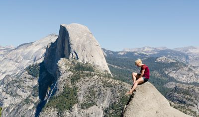
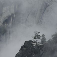
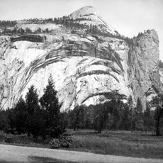
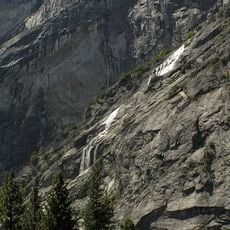
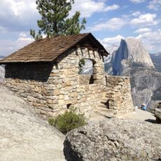
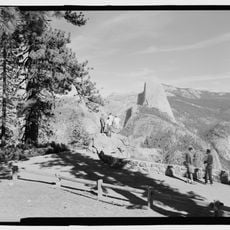
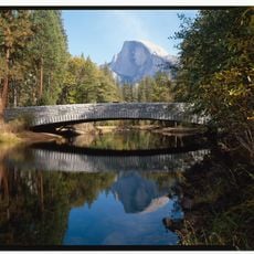
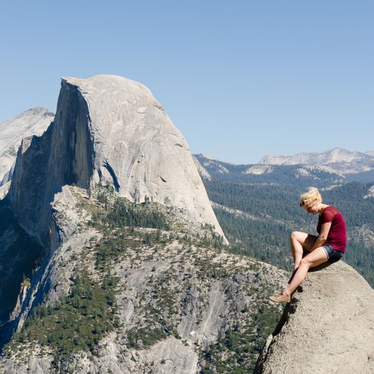
Glacier Point is a viewpoint at 7200 feet elevation on the southern rim of Yosemite Valley in the California Sierra Nevada. From the platform you see directly across to Half Dome, the cascades of Vernal and Nevada Falls, and the walls of the entire valley.
The spot became known in 1872 when pioneers built a road up here and tourists began visiting the place. For decades park workers pushed glowing coals off the edge every evening until the practice ended in 1968.
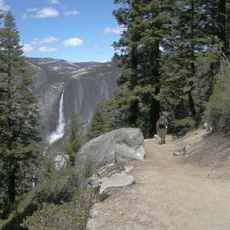
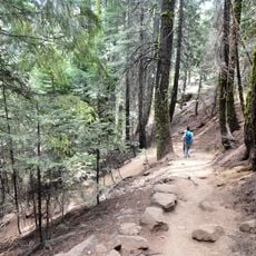
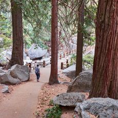
Native Americans reportedly used the overhanging rock as a lookout and called it "Patill-ima," a name of unknown meaning. Between 1872 and 1968 the point hosted the Yosemite Firefall, when glowing coals were pushed off the edge in the evening. Visitors today share the ledge with hikers arriving by the Four Mile Trail and the Panorama Trail.
Glacier Point Road runs about 32 miles from Yosemite Valley to the overlook, usually open June through October. The Four Mile Trail climbs 3,200 feet in 4.6 miles and can be hazardous under snow or ice, so the Park Service usually closes it December through May. In winter, access from Badger Pass Ski Area is only by ski or snowshoe.
On clear days you see over 60 miles across the Sierra range to Mount Conness near the high country border. Light in late afternoon turns the granite walls pink and orange while the valleys already lie in shadow.
The community of curious travelers
AroundUs brings together thousands of curated places, local tips, and hidden gems, enriched daily by 93,116 contributors worldwide.