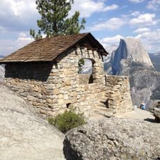
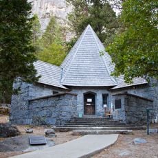
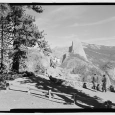
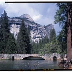
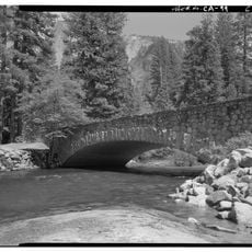
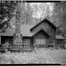
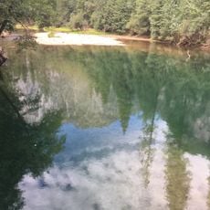
Four Mile Trail, Historic mountain trail in Yosemite National Park, US.
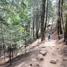
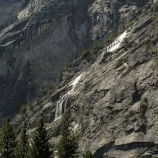
Four Mile Trail is a steep path in Yosemite National Park that runs from Yosemite Valley to Glacier Point, with views of El Capitan, Half Dome, and Yosemite Falls along the way. The route features many switchbacks that constantly shift your perspective on these valley landmarks.
The path was built starting in 1872 as a toll route to Glacier Point, created to give early visitors access to the summit view. Later modifications extended and improved the route, reflecting changing engineering approaches over decades.
The trail's name dates from 1872, when the route measured four miles; it was rebuilt and lengthened to 4.8 miles in the early 1900s but kept the old name. Since 14 December 2006 it has been a contributing property of the Yosemite Valley historic district on the National Register of Historic Places.
This climb demands good fitness and plenty of water to carry, as facilities are sparse along the route. Seasonal closures happen from December through May due to snow, so check conditions before heading out.
The trail starts at the foot of Sentinel Rock, a granite pillar on the valley floor. The path was built in 1872 at 4 miles and rebuilt in the early 1900s at 4.8 miles, though the old name stayed. The upper quarter, about a mile below Glacier Point, stays hazardous and is usually closed through May.
The community of curious travelers
AroundUs brings together thousands of curated places, local tips, and hidden gems, enriched daily by 93,531 contributors worldwide.