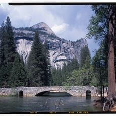
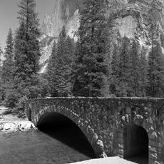
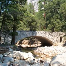
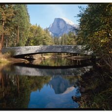
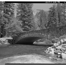
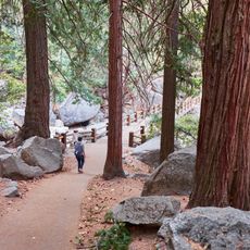
Panorama Trail, Downhill hiking trail in Yosemite National Park, United States.
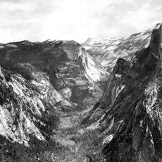
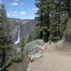
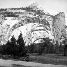
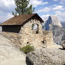
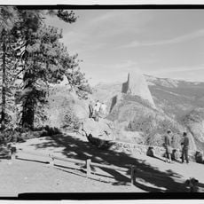
The Panorama Trail is a hiking path that descends from Glacier Point to Yosemite Valley, moving through different landscape types along the way. The route passes by waterfalls, offers views of Half Dome and surrounding granite formations that shape the valley.
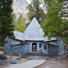
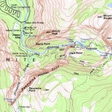
The Panorama Trail is a marked route in Yosemite National Park that runs 13.5 km from Glacier Point, along the south wall of Yosemite Valley past Illilouette Falls, to the John Muir Trail at Happy Isles. Its name comes from the panoramic views along the way, especially at Panorama Point. The Glacier Point trailhead sits by the Glacier Point Amphitheater, and the Four Mile Trail also starts there.
The name comes from the panoramic views along the route, especially from Panorama Point. Near the Glacier Point trailhead, the path begins at a marked junction by the Glacier Point Amphitheater, and the Four Mile Trail also starts at Glacier Point.
The path is demanding and requires good physical fitness, particularly due to constant downhill sections. It is wise to start early and plan for plenty of water and regular breaks.
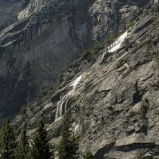
The route offers views of Nevada Fall and Vernal Fall, two powerful waterfalls that plunge down in rapid cascades. These waterfalls are fed by snowmelt from higher elevations in the park.
The community of curious travelers
AroundUs brings together thousands of curated places, local tips, and hidden gems, enriched daily by 94,529 contributors worldwide.