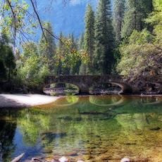
Upper Pines Campground, Campground in Yosemite National Park, United States
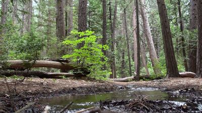
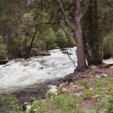
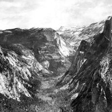
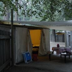
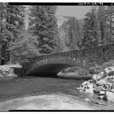
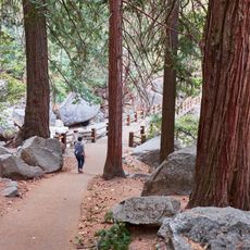
Upper Pines Campground is a campground with 238 sites at 4,000 feet elevation in Yosemite Valley, surrounded by California black oaks and Ponderosa pines. The sites are arranged in multiple loops, and each offers a fire ring, picnic table, bear-proof food storage, access to drinking water, and flush toilets.
The campground was expanded in the 1960s to accommodate growing numbers of visitors wanting year-round access to Yosemite Valley. In the 1990s, a reservation system was implemented to better manage demand for overnight lodging in the park.
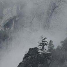
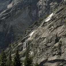
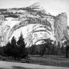
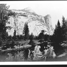
The site continues a long tradition of seasonal dwelling in Yosemite Valley by the Miwok and Paiute peoples who lived here for generations. Visitors can feel this connection to the land today when camping under the Sierra Nevada stars and experiencing the landscape that held sacred meaning for Native inhabitants.
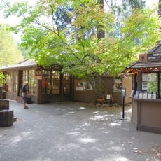
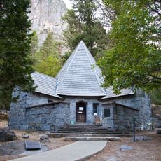
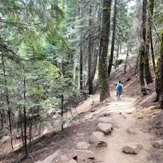
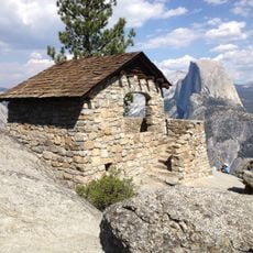
The campground is centrally located in the valley and within walking distance to hiking trails and Yosemite Village with shops and services. Showers are available at nearby Half Dome Village, so visitors should plan flexible timing if bathing facilities are a priority during their stay.
Each campsite includes a bear-proof food storage container because black bears in the region routinely forage in camps for food. This is not just a precaution but an essential part of daily reality and protecting both the animals and campers.
The community of curious travelers
AroundUs brings together thousands of curated places, local tips, and hidden gems, enriched daily by 60,000 contributors worldwide.