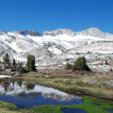
Mount Gibbs, Mountain summit in Yosemite National Park, United States
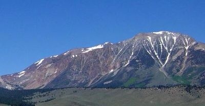
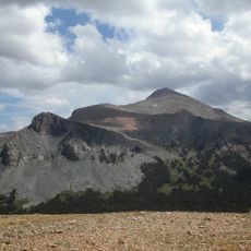
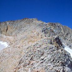
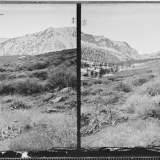
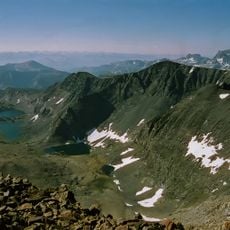
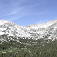
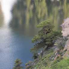
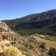
Mount Gibbs is a peak in the Sierra Nevada straddling Tuolumne and Mono Counties, reaching about 4 kilometers (12,779 feet) in elevation. The slopes feature metamorphic rock formations and offer straightforward routes to the summit without technical climbing demands.
The peak was first climbed in 1864, marking an important chapter in early Sierra Nevada exploration. The ascent was part of a broader scientific mission to map and study the mountain range.
The peak is named after Oliver Wolcott Gibbs, a Harvard professor and colleague of geologist Josiah Whitney. The name reflects his contributions to early geological work in the area.
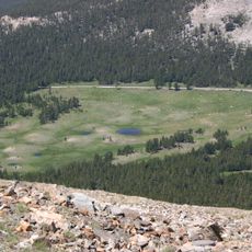
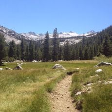
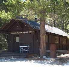
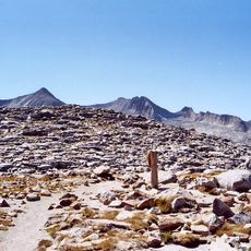
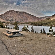
The peak can be reached from the west via Tioga Pass Road or from the east through Bloody Canyon, with both routes being relatively straightforward to hike. Visitors should prepare for sudden weather changes and start early to return before dark.
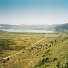
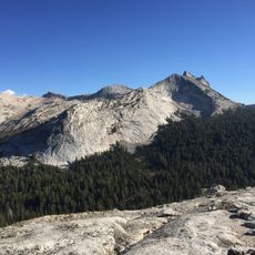
The peak sits at the boundary between Yosemite National Park and Ansel Adams Wilderness, making it one of the highest summits within the park's territory. This location places it at a crossroads where three landscapes meet: the protected park, designated wilderness, and the open ridge.
The community of curious travelers
AroundUs brings together thousands of curated places, local tips, and hidden gems, enriched daily by 60,000 contributors worldwide.