Mono County, Administrative county in Eastern Sierra region, California, United States
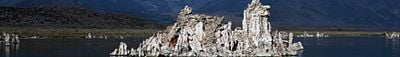
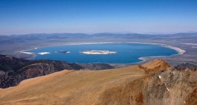
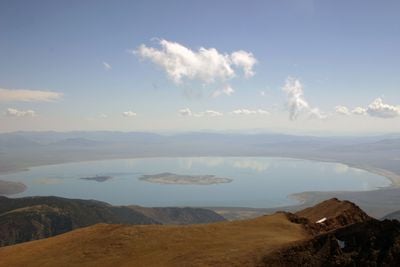
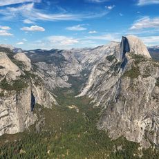
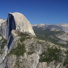
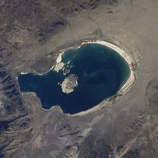
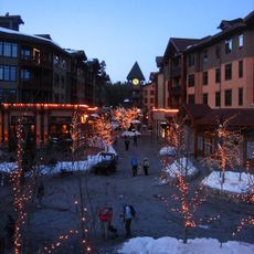
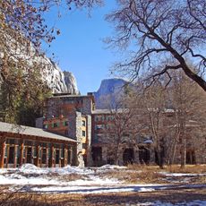
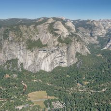
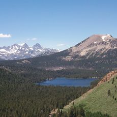
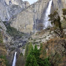
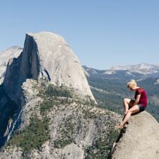
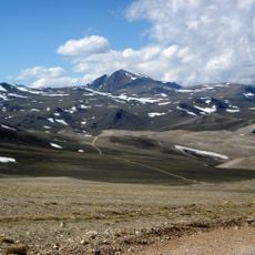
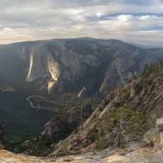
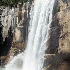
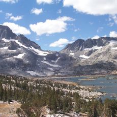
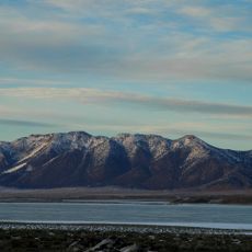
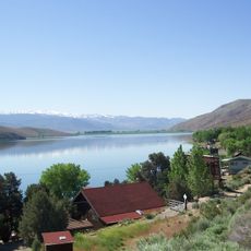
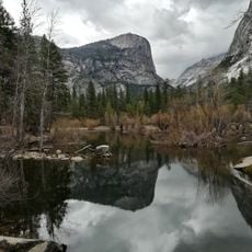
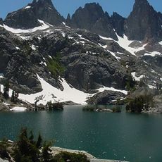
Mono County is an administrative county in California's Eastern Sierra region, stretching across mountains, lakes and volcanic features near the Nevada border. The landscape ranges from alpine peaks to dry basins, with Mammoth Lakes as the only incorporated city within its borders.
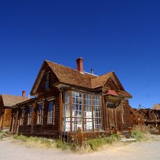
The county formed in 1861 from portions of Calaveras, Fresno and Mariposa counties during the gold rush period. Bodie grew as a mining settlement and later became a preserved ghost town that still shows the layout of that era.
The Kuzedika band of Paiute people lived here as hunter-gatherers, moving through valleys and along lake shores for seasonal resources. Their traditional routes shaped many of the trails and gathering sites visitors encounter in the mountains today.
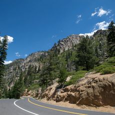
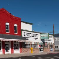
Mammoth Lakes offers lodging and services for travelers, while Bridgeport serves as the county seat with smaller supply options. Roads cross varied terrain and weather shifts quickly at different elevations, so bring clothing for changing conditions.
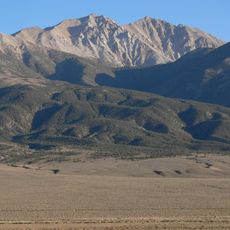
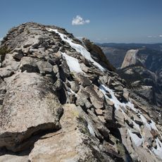
White Mountain Peak rises to 14,252 feet (4,344 m), making it the third-highest summit in California within the county's boundaries. The peak sits away from the better-known Sierra routes and draws hikers seeking remote high-altitude terrain.
The community of curious travelers
AroundUs brings together thousands of curated places, local tips, and hidden gems, enriched daily by 60,000 contributors worldwide.