Ansel Adams Wilderness
Ansel Adams Wilderness, Wilderness area in Sierra Nevada, California
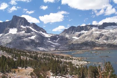
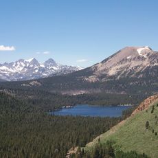
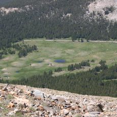
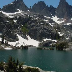
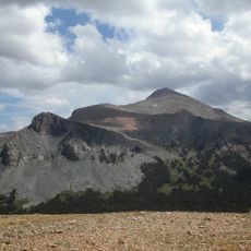
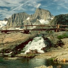
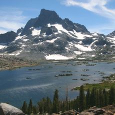
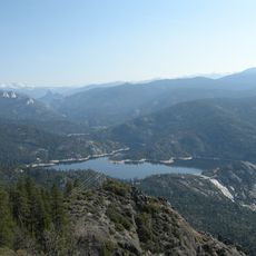
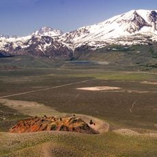
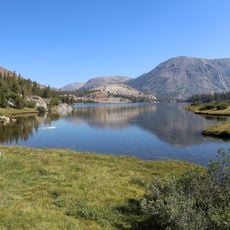
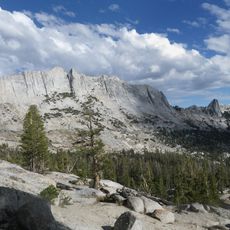
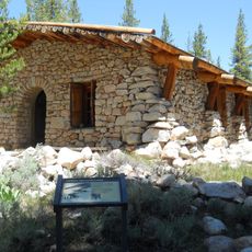
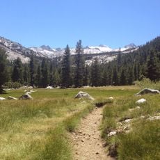
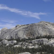
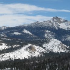
Ansel Adams Wilderness is a protected area in the Sierra Nevada of California, spanning 93,000 hectares between Sierra and Inyo National Forests. Granite peaks alternate with alpine meadows, while glacial lakes rest between the ridges.
The area was created in 1964 as Minarets Wilderness, protecting these high mountain ranges for the first time. Twenty years later it received its current name in honor of the photographer and conservationist.
Named after Ansel Adams, whose black-and-white photographs of the Sierra Nevada became symbols of American conservation. Hikers today follow the same trails he documented with his camera.
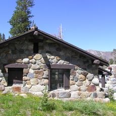
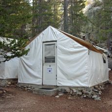
A permit is required between May and October, which should be requested in advance. Summer temperatures range from 57 to 89 degrees Fahrenheit (14 to 32 degrees Celsius), though nights can be cool even in July.
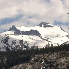
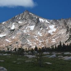
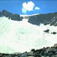
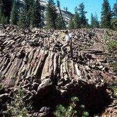
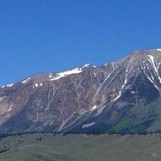
Mount Ritter rises above 4,000 meters (13,000 feet) and displays dark metavolcanic rock shaped by glaciers. Glaciers themselves are still active here, though they have shrunk in recent decades.
Location: California
Inception: September 3, 1964
Operator: US Forest Service;National Park Service
Shares border with: John Muir Wilderness, Yosemite Wilderness, Owens River Headwaters Wilderness
Website: https://sierrawild.gov/wilderness/ansel-adams
GPS coordinates: 37.68330,-119.18300
Latest update: December 5, 2025 22:28
Mammoth Lakes
19 km
Mammoth Mountain
14.5 km
Tioga Pass
26.2 km
Minarets
2.4 km
Mount Lyell
10 km
Mount Dana
24.3 km
Mono Lake Tufa State Natural Reserve
31.9 km
Mount Ritter
1.6 km
Vogelsang Peak
18 km
Rainbow Falls
12.6 km
Banner Peak
1.8 km
Mammoth Pool Reservoir
38.3 km
Lyell Glacier
10.1 km
Panum Crater
30 km
Tioga Lake
27.5 km
Mount Ansel Adams
8.8 km
Tioga Pass Entrance Station
26.2 km
Matthes Crest
24.3 km
Glen Aulin High Sierra Camp
32.6 km
Little Devils Postpile
31.5 km
Parsons Memorial Lodge
27.1 km
Lyell Canyon
22.7 km
Mount Gibbs
21.7 km
Red Cones
15.3 km
Medlicott Dome
28.6 km
Soda Springs Cabin
27.1 km
Mount Clark
21.7 km
Bloody Canyon
21.9 kmVisited this place? Tap the stars to rate it and share your experience / photos with the community! Try now! You can cancel it anytime.
Discover hidden gems everywhere you go!
From secret cafés to breathtaking viewpoints, skip the crowded tourist spots and find places that match your style. Our app makes it easy with voice search, smart filtering, route optimization, and insider tips from travelers worldwide. Download now for the complete mobile experience.
A unique approach to discovering new places❞
— Le Figaro
All the places worth exploring❞
— France Info
A tailor-made excursion in just a few clicks❞
— 20 Minutes