Lyell Glacier, Cirque glacier in Tuolumne County, US
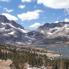
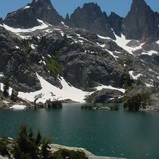
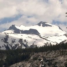
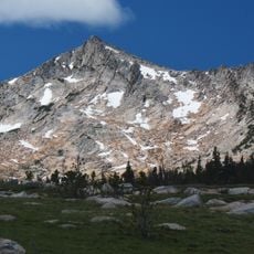
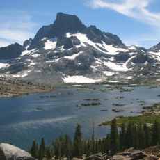
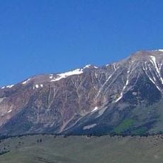
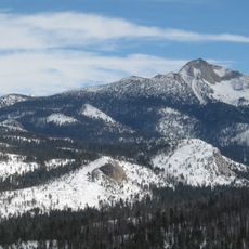
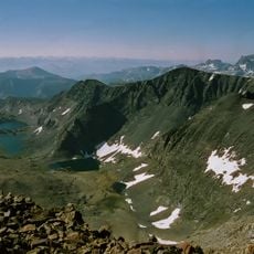
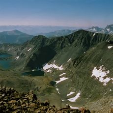
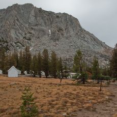
Lyell Glacier is a cirque glacier on the slopes of Mount Lyell in Yosemite National Park, Tuolumne County, California. The glacier sits at around 13,000 feet (3,960 m), tucked into the rocky bowl just below the park's highest summit at about 13,120 feet (4,000 m).
John Muir discovered the glacier in 1871, when it was the largest glacier in Yosemite National Park. It has retreated since the end of the Little Ice Age in the mid-19th century, and by the mid-20th century it had split into two smaller glaciers in the high cirques of Mount Lyell. Since 1883 its area has shrunk by up to 70 percent.
The glacier takes its name from Mount Lyell, the summit it sits beneath, which honours the Scottish geologist Charles Lyell. The name was already attached to the mountain when John Muir discovered the glacier in 1871, and Muir recorded it in his surveys of the Sierra Nevada.
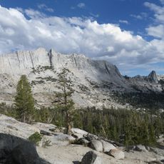
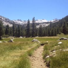
Reaching the glacier requires hiking the John Muir Trail, which involves high-altitude terrain and should only be attempted by those with solid outdoor experience. Conditions can shift quickly at this elevation, so proper gear and careful planning are essential before setting out.
Lyell Glacier moves so slowly that some scientists debate whether it still qualifies as a true glacier or has become a remnant ice patch. This question has made it a reference point in discussions about how glaciers are defined and when they officially cease to exist.
The community of curious travelers
AroundUs brings together thousands of curated places, local tips, and hidden gems, enriched daily by 94,455 contributors worldwide.