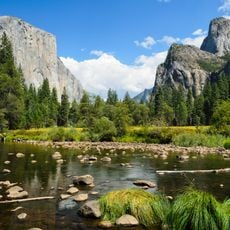
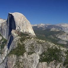
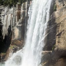
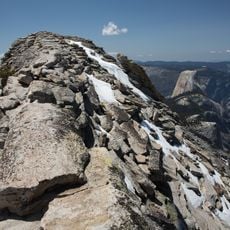
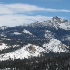
Gray Peak, Mountain summit in Madera County, United States.
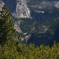
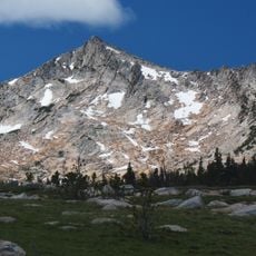
Gray Peak is a mountain summit in the Sierra Nevada standing at 3,527 meters and providing views across multiple ridges and valleys throughout the region. The peak sits within rocky terrain characteristic of high alpine environments in this part of the mountain range.
The peak was probably named by the Wheeler Survey during its exploration of the Yosemite region in 1878 and 1879. Its descriptive name, referring to black iron-bearing minerals, appeared on an 1893 Le Conte map as Gray Peak and was officially adopted on 1 January 1897 by the U.S. Board on Geographic Names. In 1920 Ansel Adams left a Sierra Club cylinder-type register at the summit.
The name refers to the dark iron-bearing minerals of the rock, a descriptive label shown on an 1893 Le Conte map and adopted by the U.S. Board on Geographic Names in 1897. In 1920 Ansel Adams left a Sierra Club cylinder-type register at the summit, a practice of early Sierra Club climbers.
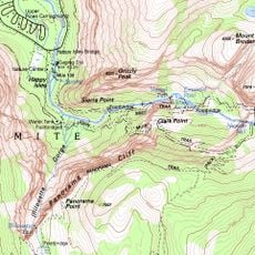
Gray Peak lies in Yosemite National Park, about 9 miles (14 km) southeast of Yosemite Valley, 1.3 miles (2.1 km) north of Red Peak and 1.5 miles (2.4 km) south-southeast of Mount Clark. The summit holds a Sierra Club cylinder-type register that Ansel Adams left there in 1920. Precipitation runoff from the mountain drains into tributaries of the Merced River.
This summit ranks as the fourth-highest peak in the Clark Range, a distinction that places it within an important cluster of major mountains in the area. Its position within this range makes it a notable point for those documenting ascents across the entire chain.
The community of curious travelers
AroundUs brings together thousands of curated places, local tips, and hidden gems, enriched daily by 93,537 contributors worldwide.