Mono Basin National Scenic Area, National Scenic Area in Eastern California, United States.
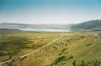
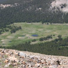
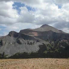
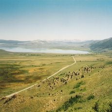
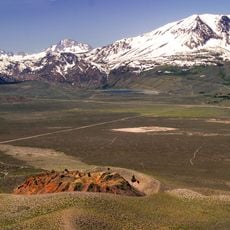
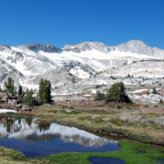
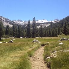
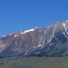
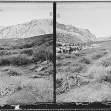
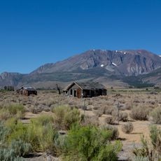
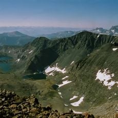
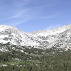
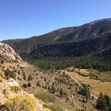
Mono Basin National Scenic Area is a protected region in the Eastern Sierra covering volcanic terrain with Mono Lake at its center, surrounded by volcanic craters and mineral-rich geological features. The landscape clearly shows the results of volcanic activity and complex mineral interactions shaped over millions of years.
Congress designated this location as the first National Forest Scenic Area in 1984 to protect Mono Lake and its ecosystem from environmental changes. This decision represented an important step in recognizing the geological and ecological value of the region.
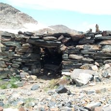
Indigenous Paiute peoples developed long-lasting communities in this region, relying on the lake's resources and establishing trade connections across the Sierra region.
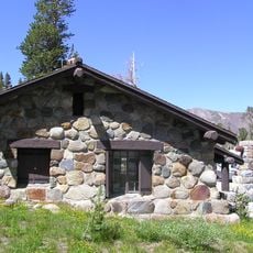
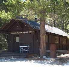
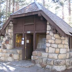
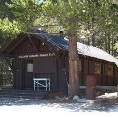
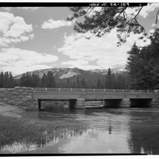
The Visitor Center lies north of Lee Vining on Route 395 and provides maps, exhibits, and details about the main trails and natural features to explore. Plan for a high-altitude environment with intense sun and limited shade, so bring water and sun protection.
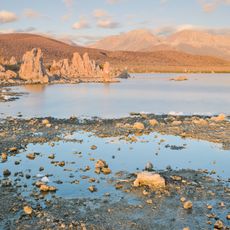
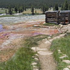
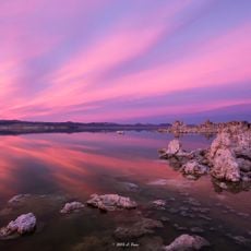
Mono Lake's salty water chemistry creates an unusual environment where calcium-rich springs from below form tufa towers as they meet the lake water. These striking cream-colored limestone structures emerge from the lake floor and create an otherworldly landscape unlike anywhere else in the region.
The community of curious travelers
AroundUs brings together thousands of curated places, local tips, and hidden gems, enriched daily by 60,000 contributors worldwide.