Chest opened
+${chestReward.xp} XP
Explorer
NOUVEAU ×${chestReward.collectible.quantity}
tapez pour fermer

See the monuments around you in AR Open chests in the app

Around Us is built for your phone — point your camera at the streets and discover the monuments and places around you in augmented reality. Around Us is built for your phone — chests unlock when you walk, explore and capture nearby places.

•

Enable Location

We need your location to show you interesting places around you

Discover nearby places

Find interesting locations and hidden gems around you

Precise directions

Get accurate directions and distances to places

Your location is never shared with other users. It's only used when you tap the location button.

Mono Basin

Log in to your account

Start exploring — it's free

Trusted by 93,730 travelers worldwide

Continue with Google
Continue with Apple
or

We will send you a code to connect

By continuing, you accept our Terms and Conditions and our Privacy Policy

Check your inbox

We've sent a pincode in your inbox. Please enter the code below.

Mono Basin, Endorheic basin in California, United States

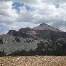
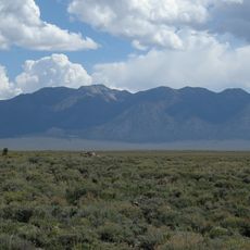
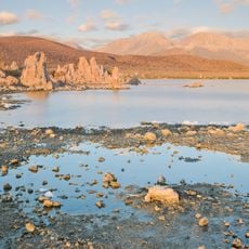
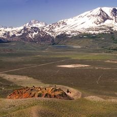
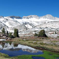
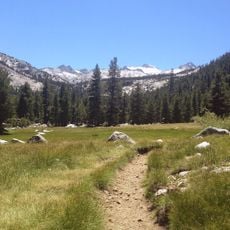
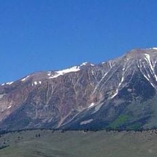
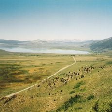
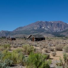
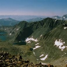
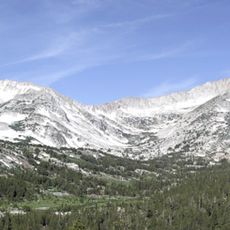
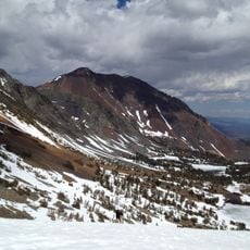
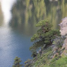
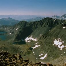
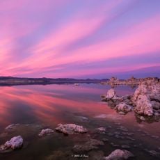
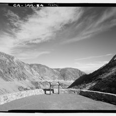
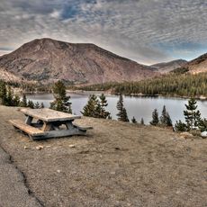
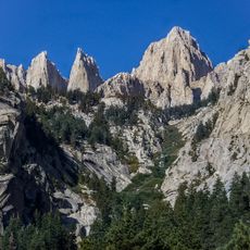
Mono Basin is an endorheic basin in eastern California where Mono Lake sits at 6378 feet elevation surrounded by high desert landscape. The lake contains highly saline water that remains in the basin rather than flowing to the ocean.

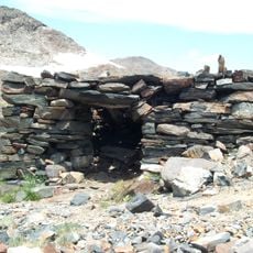
Native American tribes including the Mono and Owens Valley Paiute lived in this region for thousands of years before European contact. Water extraction for Los Angeles in the 20th century caused the lake level to drop significantly.

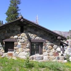
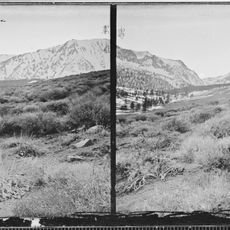
The Mono Basin's name comes from the Mono people, whose homeland this was; the Mono Lake Paiute gathered alkali fly pupae along the shore, a food called kutsavi. The Mono Basin National Forest Scenic Area Visitor Center in Lee Vining explains this human and natural history with exhibits on the lake, the craters and the surrounding Sierra.

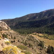
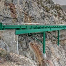
US Route 395 runs along the basin's western edge, with pullouts and viewpoints over Mono Lake. The basin floor sits near 6,380 feet, so nights cool sharply even in summer. The Mono Basin National Forest Scenic Area Visitor Center in Lee Vining has exhibits on local geology and wildlife. The open terrain gives little shade at midday.

Paoha Island, the youngest land in the basin, was pushed up by an eruption about 350 years ago, and geologists can still read older shorelines of Lake Russell as terraces west of Mono Lake, roughly 330 metres above today's water.

The community of curious travelers

AroundUs brings together thousands of curated places, local tips, and hidden gems, enriched daily by 93,730 contributors worldwide.

Start exploring
Location
GPS coordinates
37.95000,-118.95000
Latest update
October 28, 2026 21:21
Reviews
Share your experience

No review yet

Discussions
Start a discussion...

No discussion yet

« Mono Basin - Endorheic basin in California, United States » is provided by Around Us (aroundus.com). Images and texts are derived from Wikimedia project under a Creative Commons license. You are allowed to copy, distribute, and modify copies of this page, under the conditions set by the license, as long as this note is clearly visible.

Discover hidden gems everywhere you go!

From secret cafés to breathtaking viewpoints, skip the crowded tourist spots and find places that match your style. Our app makes it easy with voice search, smart filtering, route optimization, and insider tips from travelers worldwide. Download now for the complete mobile experience.
Around Us App Screenshot
❝

A unique approach to discovering new places❞

— Le Figaro

❝

All the places worth exploring❞

— France Info

❝

A tailor-made excursion in just a few clicks❞

— 20 Minutes

Around Us
Travel Guide & Maps
Download

Send to your phone

QR Code
1

Open the camera app on your mobile.

2

Point at the QR code with your camera. A notification will appear.

3

Tap the notification to open the link.