Inyo National Forest, National forest in Eastern Sierra Nevada, United States.
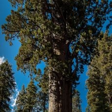
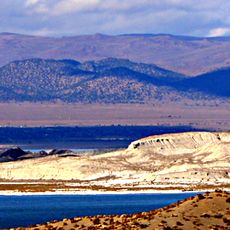
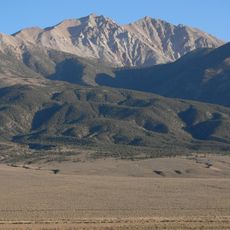
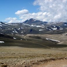
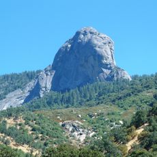
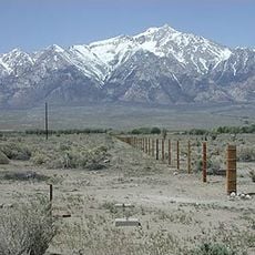
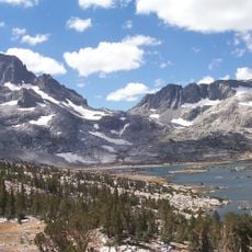
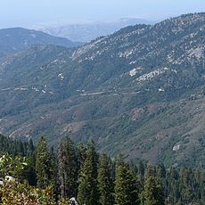
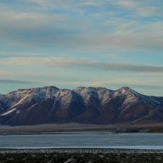
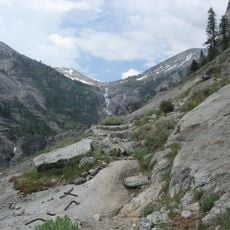
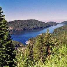
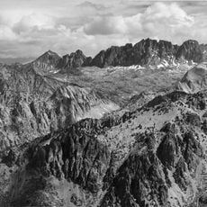
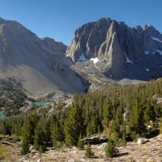
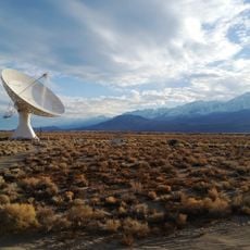
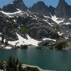
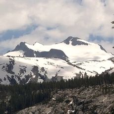
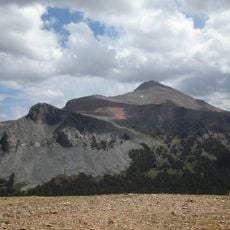
Inyo National Forest covers 1,903,381 acres on both sides of the Owens Valley and Long Valley Caldera, from the eastern Sierra Nevada into the White Mountains, with about 60,700 acres in western Nevada. Its elevation runs from 4,000 feet in the Owens Valley to 14,505 feet at Mount Whitney's summit. Pale gray granite peaks with dark vertical streaks rise above V-shaped canyons filled with lodgepole and Jeffrey pine.
Theodore Roosevelt protected this area as a national forest in 1907 to secure land for the Los Angeles Aqueduct project. This decision shaped how the forest would be used and managed for generations.
The name Inyo comes from a Native American word meaning "dwelling place of the great spirit", which the original inhabitants used to describe the mountains to early white settlers; those peaks are still called the Inyo Mountains, and Inyo County takes its name from them. The forest headquarters are in Bishop, with ranger district offices in Bishop, Lee Vining, Lone Pine and Mammoth Lakes.
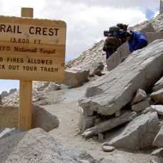
The forest's nine wilderness areas, including the John Muir and Ansel Adams wildernesses, have no roads and admit only hikers and riders with horses or mules; mountain bikes are barred. The Pacific Crest and John Muir trails run together for a stretch north of Yosemite National Park. Forest offices are in Bishop, with ranger districts in Lee Vining, Lone Pine and Mammoth Lakes.
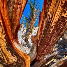
The bristlecone pines in this forest are among the oldest living things on Earth, with some specimens thousands of years old. These trees grow slowly at high elevations and display rings recording centuries of history.
The community of curious travelers
AroundUs brings together thousands of curated places, local tips, and hidden gems, enriched daily by 93,845 contributors worldwide.