Mount Whitney Trail, Hiking trail in Sierra Nevada Mountains, California, United States.
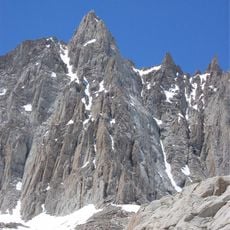
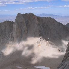
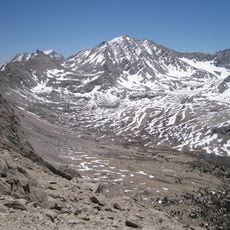
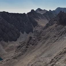
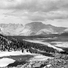
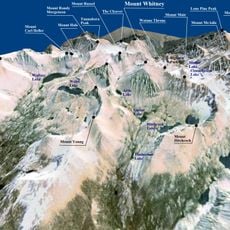
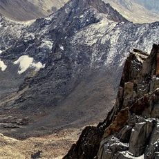
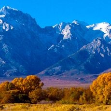
The Mount Whitney Trail is a long-distance hiking trail in the Sierra Nevada Mountains of California that climbs to the highest summit in the contiguous United States. The route crosses several elevation zones, passing through open granite slopes and high alpine lake basins.
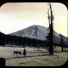
Local engineer Gustave Marsh designed the original pack trail from Lone Pine to the summit, opened on July 22, 1904; it forms the basis of most of today's route. The trail from above Lone Pine Lake to Trail Crest lies in the Mount Whitney Zone of Inyo National Forest, where wilderness permits are always required and a quota limits use from May 1 to November 1. In 2006 the forest began a mandatory pack-it-out human waste program, and in 2012 the permit lottery moved online.
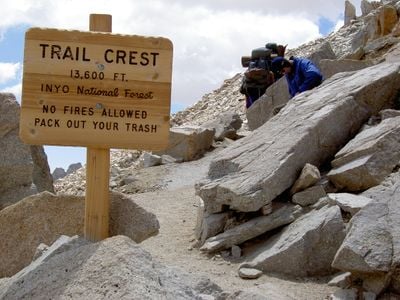
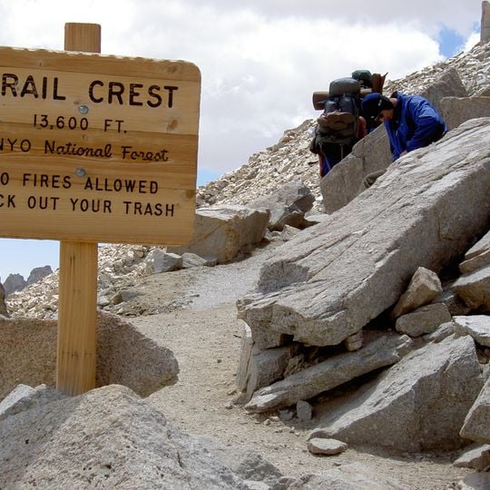
The trail ends at the Smithsonian Institution Shelter on the summit, and the wooden sign at Trail Crest (13,600 ft) reminds hikers that no fires are allowed in Inyo National Forest. Since 2006 the Forest Service has required a "pack it out" program: the solar latrines at Outpost and Trail Camps were removed and hikers receive WAG Bags for human waste.
Hikers need a permit that is issued through a lottery system from May to October and must be requested in advance. Weather-resistant gear is necessary due to rapid temperature changes at elevation, and good physical preparation makes the ascent much easier.
The climb gains over 6000 feet (1800 meters) in elevation from the Whitney Portal trailhead to the summit. Along this distance, vegetation and climate shift several times, from conifer forest to treeless high mountain zones.
The community of curious travelers
AroundUs brings together thousands of curated places, local tips, and hidden gems, enriched daily by 93,123 contributors worldwide.