Mount Mallory, Mountain summit in Sierra Nevada, California
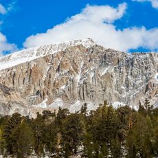
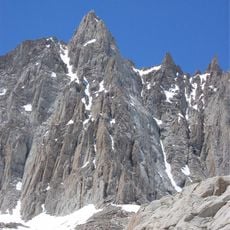
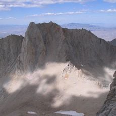
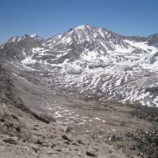
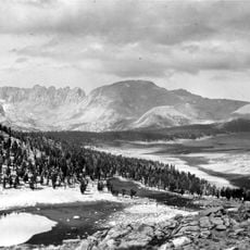
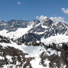
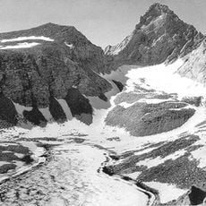
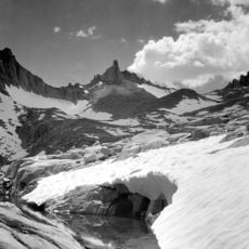
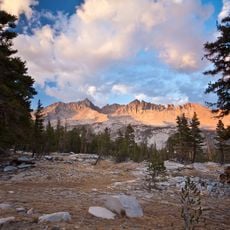
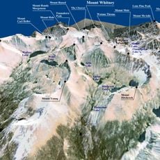
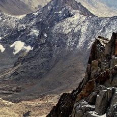
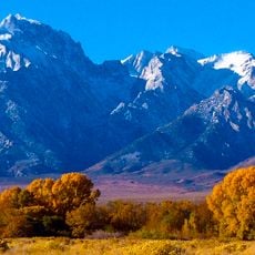
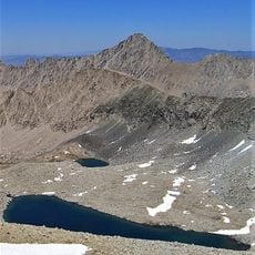
Mount Mallory is a 4,222-metre peak on the Sierra Nevada crest, where the boundary between Inyo National Forest and Sequoia National Park crosses the summit. The southwest side lies in Tulare County within Sequoia National Park, while the north and east slopes fall in Inyo County's John Muir Wilderness. It stands 4.3 km southeast of Mount Whitney, flanked by Mount Irvine to the north and Mount LeConte to the southeast.
Mount Mallory was named in memory of George H. Leigh Mallory of the 1924 British Mount Everest expedition, who was lost on Everest in June 1924. Norman Clyde proposed the names of Mallory and Andrew Irvine after the pair reached the highest altitude attained by a climber. The sources record no first ascent by Clyde.
The peak's name honours George H. Leigh Mallory of the 1924 British Mount Everest expedition, who was lost on Everest in June 1924. Norman Clyde proposed the names of Mallory and Andrew Irvine after the two men reached the highest altitude attained by a climber at that time.
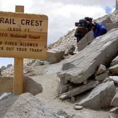
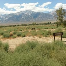
The Meysan Lake Trail extends about 13.6 miles with roughly 5,700 feet of elevation gain starting from Whitney Portal Campground. This steep route requires solid hiking experience and proper mountain gear.
Mount Mallory was named for George H. Leigh Mallory of the 1924 British Mount Everest expedition, who disappeared on Everest in June 1924. Norman Clyde proposed the names of Mallory and Andrew Irvine after the pair reached the highest altitude attained by a climber at that time. The summit lies on the boundary between Inyo National Forest and Sequoia National Park.
The community of curious travelers
AroundUs brings together thousands of curated places, local tips, and hidden gems, enriched daily by 93,175 contributors worldwide.