Mount Muir, Granite summit in the Sierra Nevada, California, US
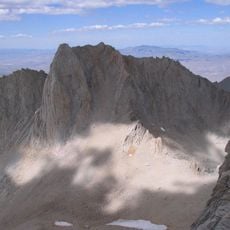
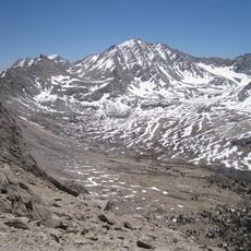
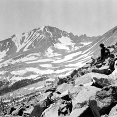
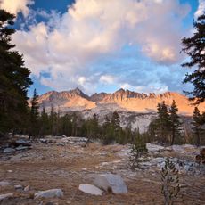
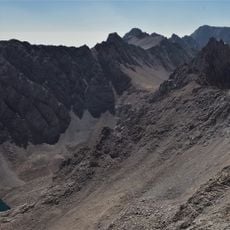
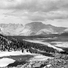
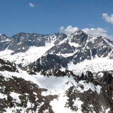
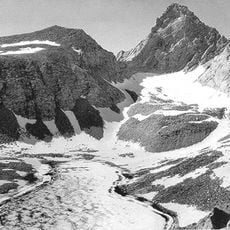
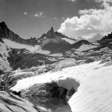
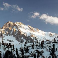
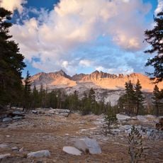
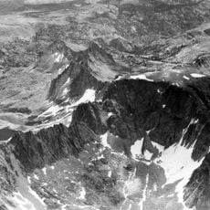
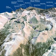
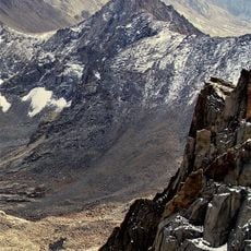
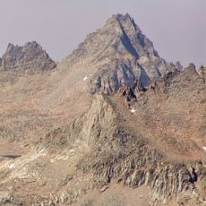
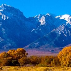
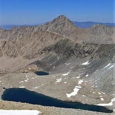
Mount Muir is a peak in the Sierra Nevada of California, 0.95 miles (1.5 km) south of Mount Whitney, rising to 14,018 feet (4,273 m). Its east side, in the John Muir Wilderness, is a near-vertical cliff about 1,400 feet (430 m) high, while the west slope is reached by a short stretch of class 3 scrambling from the John Muir Trail.
The first ascent of Mount Muir is not documented. The east side was first climbed on July 11, 1935, by Nelson P. Nies and John D. Mendenhall, and the south side of the east buttress on September 1, 1935, by Arthur B. Johnson and William Rice.
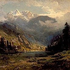
The mountain is named after John Muir, a naturalist who explored and wrote about the Sierra Nevada in the 19th century. Hikers on the trail walk through terrain that Muir described in his journals, which gives the place a certain weight beyond the physical climb.
Access requires either a day-hike permit or a backcountry permit with a Whitney Zone stamp, so it is worth checking availability well in advance. Summer is the most reliable season, as snow can linger into late spring and make the upper terrain harder to navigate safely.
Mount Muir sits just a short walk from Mount Whitney, the highest point in the contiguous US, and many hikers reach both on the same trip. Despite this proximity, the top of Mount Muir is far less crowded than its neighbor and gives a more solitary feel at the summit.
The community of curious travelers
AroundUs brings together thousands of curated places, local tips, and hidden gems, enriched daily by 93,919 contributors worldwide.