Enable Location

We need your location to show you interesting places around you

Discover nearby places

Find interesting locations and hidden gems around you

Precise directions

Get accurate directions and distances to places

Your location is never shared with other users. It's only used when you tap the location button.

Thunder Mountain

Log in to your account

Start exploring — it's free

Trusted by 61,509 travelers worldwide

Continue with Google
Continue with Apple
or

We will send you a code to connect

By continuing, you accept our Terms and Conditions and our Privacy Policy

Check your inbox

We've sent a pincode in your inbox. Please enter the code below.

Thunder Mountain

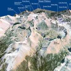
Thunder Mountain, Mountain summit in Tulare County, United States.

Description

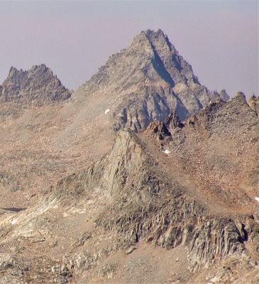
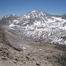
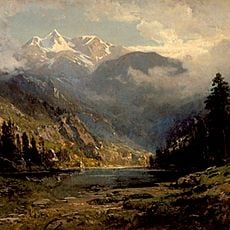
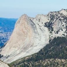
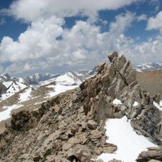
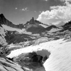
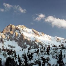
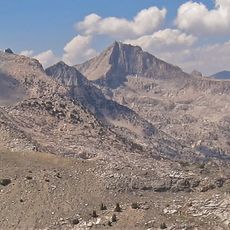
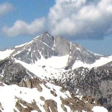
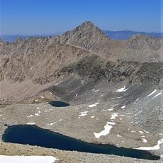
Thunder Mountain is a summit in the Sierra Nevada reaching about 4,100 meters and positioned on the boundary between Sequoia and Kings Canyon national parks. The terrain consists of steep rocky ridges and a final climbing section to reach the peak.

History

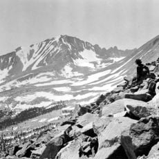
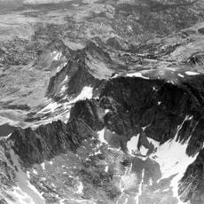
The mountain received its first recorded climb in 1905 when a topographer from the United States Geological Survey reached the summit to place a benchmark. This early ascent was part of the systematic mapping effort of the Sierra Nevada region.

Culture

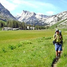
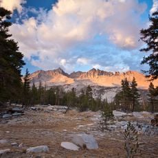
The peak draws mountaineers seeking challenging climbs that test their skills on steep rocky terrain. Its location between two major national parks makes it a notable destination within the regional climbing community.

Practical

The approach requires rock climbing experience and careful attention to route finding as paths can vary among multiple options. Starting early in the day and monitoring weather changes is important since conditions can shift rapidly at this elevation.

Did you know?

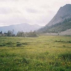
Thunder Pass on the mountain's eastern side marks the western terminus of the Kings-Kern Divide, an important geographical landmark. This pass serves as an orientation point for travelers moving between the two national parks.

Location
Location
Elevation above the sea
4,122 m
Part of
Sierra Peaks Section Peaks List
GPS coordinates
36.66900,-118.47577
Latest update
December 14, 2025 18:41

AroundUs brings together thousands of curated places, local tips, and hidden gems, enriched daily by 60,000 contributors worldwide. Discover all places nearby (California).

« Thunder Mountain - Mountain summit in Tulare County, United States » is provided by Around Us (aroundus.com). Images and texts are derived from Wikimedia project under a Creative Commons license. You are allowed to copy, distribute, and modify copies of this page, under the conditions set by the license, as long as this note is clearly visible.

Discover hidden gems everywhere you go!

From secret cafés to breathtaking viewpoints, skip the crowded tourist spots and find places that match your style. Our app makes it easy with voice search, smart filtering, route optimization, and insider tips from travelers worldwide. Download now for the complete mobile experience.

Around Us App Screenshot

A unique approach to discovering new places

Le Figaro

All the places worth exploring

France Info

A tailor-made excursion in just a few clicks

20 Minutes

Around Us
Travel Guide & Maps
Download

Send to your phone

QR Code
1

Open the camera app on your mobile.

2

Point at the QR code with your camera. A notification will appear.

3

Tap the notification to open the link.