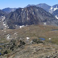
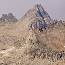
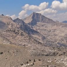
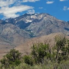
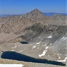
Mount Clarence King, Mountain summit in Kings Canyon National Park, California, United States
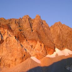
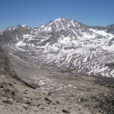
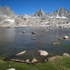
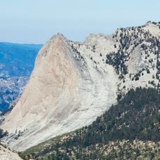
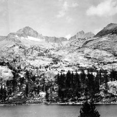
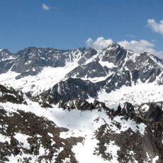
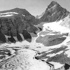
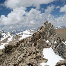
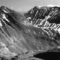
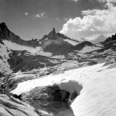
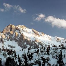
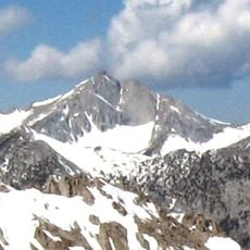
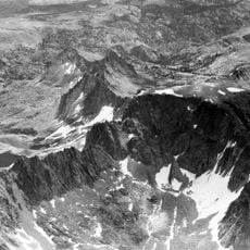
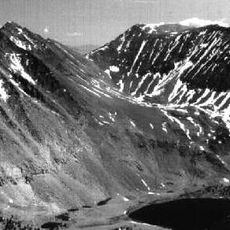
Mount Clarence King is a 12,867-foot (3,922 m) peak in Kings Canyon National Park, California, within the Sierra Nevada. It rises along King Spur, north of Mount Cotter, northeast of Gardiner Basin, and west of Sixty Lakes Basin and the John Muir Trail. The summit is a rocky block in alpine terrain.
Mount Clarence King is named for Clarence King, who worked on the Whitney Survey, the first geological survey of California, and later became the first chief of the United States Geological Survey. The first recorded ascent was made by Bolton Brown, a painter and lithographer. The peak rises to 3,903 metres in Fresno County, California.
The peak honors Clarence King, a geologist and surveyor whose work shaped scientific understanding of the Sierra Nevada. His name reflects the early days of systematic geological exploration in California.
Access comes from the west via Highway 180 or from the east through Kearsarge Pass. Overnight stays require permits, and visitors should prepare for harsh alpine conditions.
Mount Clarence King rises 3,903 metres in Fresno County, about 410 metres above the surrounding terrain, with a base roughly 5.7 kilometres wide. The nearest higher summit is Mount Stanford, 4,253 metres, 15.1 kilometres to the south. The first recorded ascent was made by the painter and lithographer Bolton Brown.
The community of curious travelers
AroundUs brings together thousands of curated places, local tips, and hidden gems, enriched daily by 93,452 contributors worldwide.