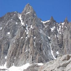
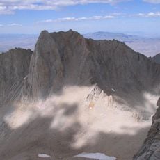
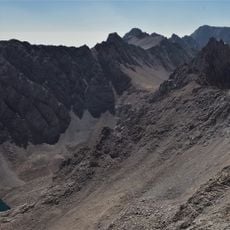
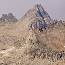
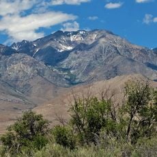
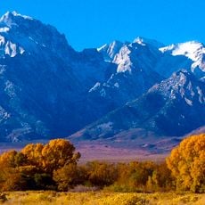
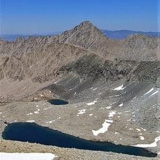
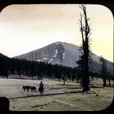
Mount Tyndall, Granite mountain peak in Sierra Nevada, California, United States.
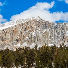
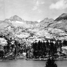
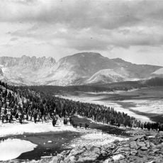
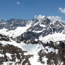
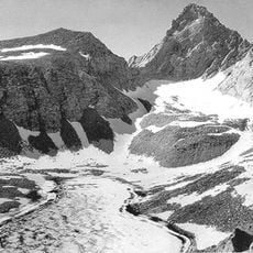
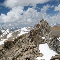
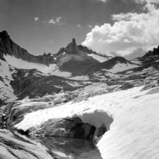
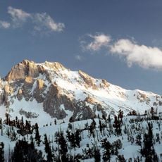
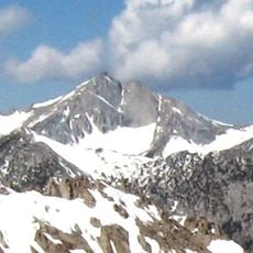
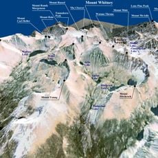
Mount Tyndall is a granite peak on the Sierra Crest, forming the boundary between Inyo and Tulare counties. At 14,025 feet (4,275 m), it is the tenth-highest peak in California, 1.5 miles west of Mount Williamson and about 6 miles north-northeast of Mount Whitney.
Mount Tyndall was first climbed on July 6, 1864, by Clarence King and Richard Cotter of the California Geological Survey, working under Josiah Whitney and field leader William Brewer. They had trekked from Kings Canyon hoping to make the first ascent of Mount Whitney, and only realized months later they had climbed the wrong peak. The name, given at that first ascent, was made official in 1928.
The name was given during the first ascent in 1864 to honour John Tyndall, an Irish physicist and mountaineer. The designation was officially formalised in 1928. Tyndall's own alpine work on glaciers and rock deformation linked him to the Sierra Nevada, and the peak's granite, exposed by glacial and river erosion, echoes the subjects he studied.
The easiest approach is the Northwest Ridge, a class 2 scramble beginning about 0.8 km west of Shepherd Pass and 1.6 km north of the summit. About fifteen routes exist in all, most of them rock climbs, including one 5.11 and four 5.10 lines. The normal route was first climbed in winter by Orlando Bartholomew in January 1930.
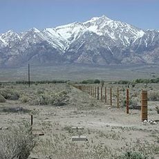
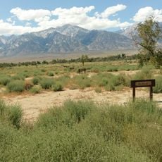
The east face belongs to the California Bighorn Sheep Zoological Area, founded in 1972 to protect the Sierra Nevada bighorn sheep; the animals descend to lower slopes in winter when snow drives them off the high pastures. The area was closed to access almost continuously from 1981 to 2010.
The community of curious travelers
AroundUs brings together thousands of curated places, local tips, and hidden gems, enriched daily by 94,442 contributors worldwide.