Tulare County, Administrative county in San Joaquin Valley, United States.
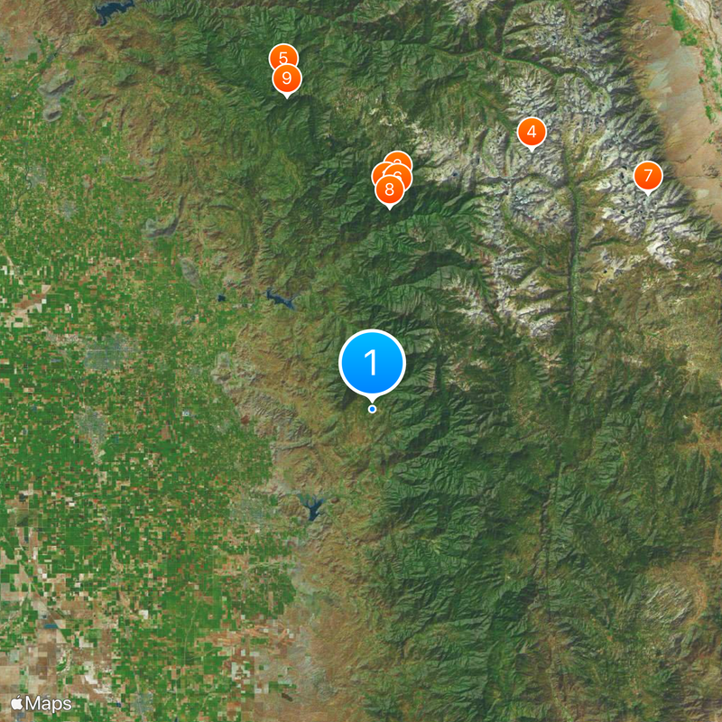
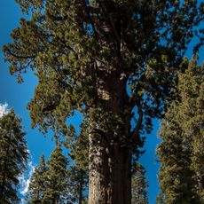
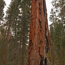
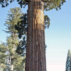
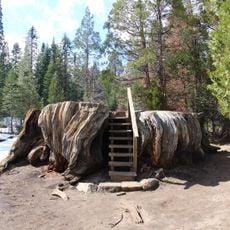
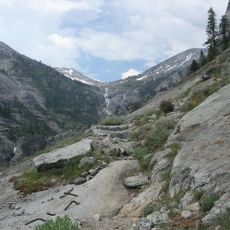
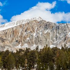
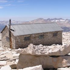
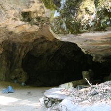
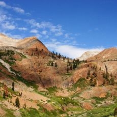
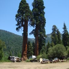
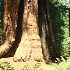
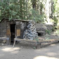
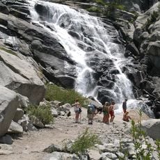
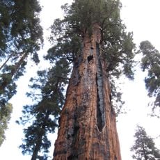
Tulare County is an administrative area in the San Joaquin Valley of California, stretching from flat valley floor to mountain slopes of the Sierra Nevada. It includes farmland in the western sections and forested high country to the east, where part of Sequoia National Park is located.
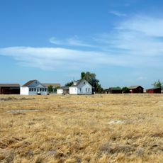
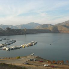
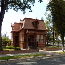
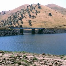
The administrative area was established in 1852 when settlers began farming the fertile valley and founding small communities. In the following decades, irrigation canals were built that turned dry land into farmland.
The name comes from the tule reeds that once grew in valley marshes and were used by early inhabitants to build boats and homes. Today you can still see murals in smaller towns like Woodlake and Dinuba that show these plants and early farming life.
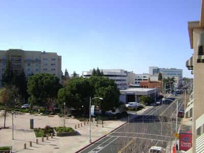
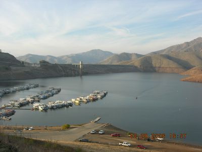
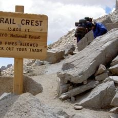
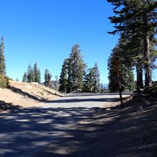
Highway 99 runs through the flat valley and connects the larger communities like Visalia, Tulare, and Porterville. The eastern mountain section is reached by winding mountain roads that may close during winter snowfall.
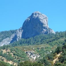
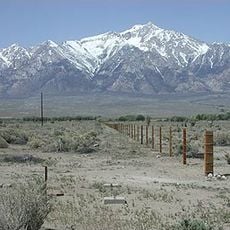
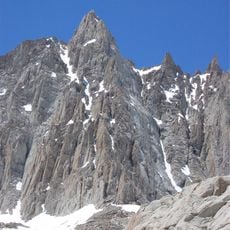
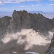
The southern sections lie partly below sea level and are among the lowest land points in California outside the desert. This elevation difference of several thousand feet (over 1,000 m) within a single administrative area is rare in the United States.
The community of curious travelers
AroundUs brings together thousands of curated places, local tips, and hidden gems, enriched daily by 60,000 contributors worldwide.