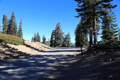
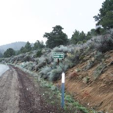
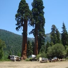
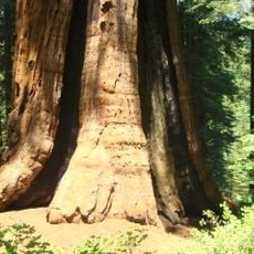
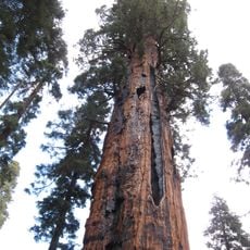
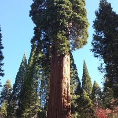
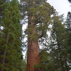
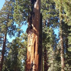
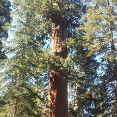
Sherman Pass, Mountain pass in Sequoia National Forest, California, United States
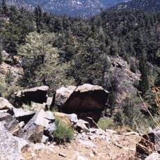
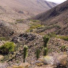
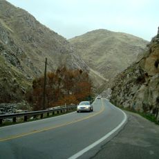
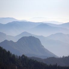
Sherman Pass Road is a mountain route winding through the Sierra Nevada within Sequoia National Forest, climbing to roughly 2800 meters elevation. The roadway features tight turns and steep sections that continue for about 190 kilometers.
The road was developed in the 20th century as a crucial link connecting Tulare County settlements to eastern California regions. It served as an essential transportation corridor bringing remote communities together with the lowlands.
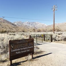
Native American tribes established seasonal migration paths through this section of the Sierra Nevada before modern road construction began.
The road is typically passable from late May through early fall, as winter closures due to heavy snow are common at this elevation. Drivers should prepare for changing weather conditions in the high mountains and bring appropriate gear.
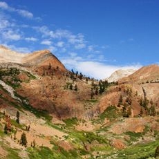
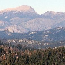
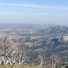
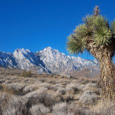
On clear days, the route offers direct sightlines to Mount Whitney, the highest peak in the adjacent region. This view is particularly notable given that the drive itself already reaches extreme elevations.
The community of curious travelers
AroundUs brings together thousands of curated places, local tips, and hidden gems, enriched daily by 60,000 contributors worldwide.