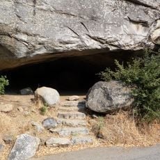
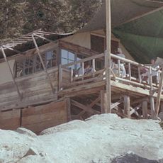
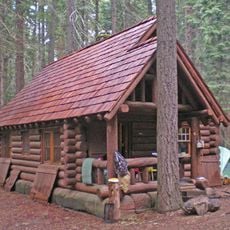
Quinn Ranger Station, Historic ranger station in Tulare County, US
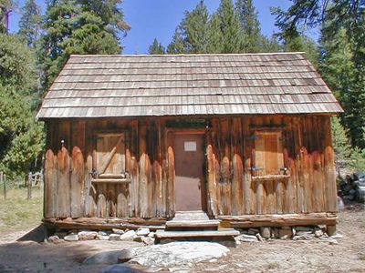
Quinn Ranger Station is a single-room log cabin in Sequoia National Park that demonstrates early National Park Service architectural design. The structure was built using local materials and blends quietly into the surrounding forest landscape.
Built in 1907 while the United States Army managed Sequoia National Park, this station is the only surviving ranger facility from that military administration period. It marks an important moment when the park's infrastructure was first being established.
The building reflects how national park management shifted from military control to civilian ranger operations over time. Visitors walking through can sense this transformation in the structure itself.
The station sits along established walking paths in the park and is accessible by foot to visitors exploring the area. The best time to visit is during warmer months when park trails are fully open and easy to navigate.
The station was designed by architect Harry Britten, who used local timber and building methods to reduce its impact on the surrounding forest. This thoughtful approach to construction became influential for how park buildings were later designed.
The community of curious travelers
AroundUs brings together thousands of curated places, local tips, and hidden gems, enriched daily by 60,000 contributors worldwide.