Mount Kaweah, Mountain summit in Sequoia National Park, California, United States.
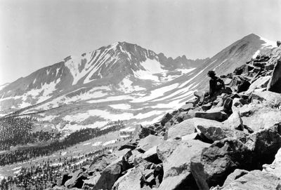
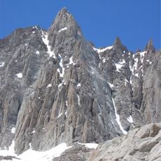
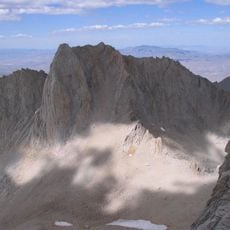
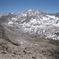
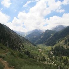
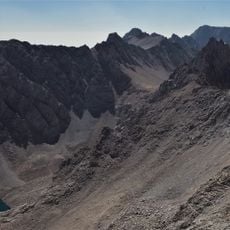
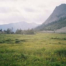
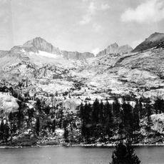
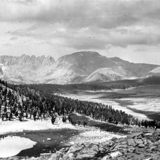
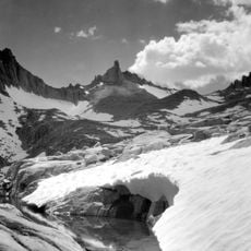
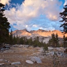
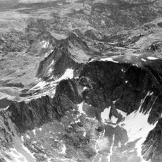
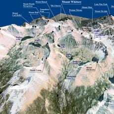
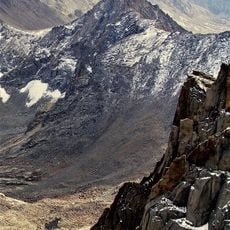
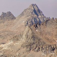
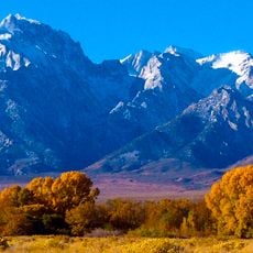
Mount Kaweah is a mountain summit in Sequoia National Park, California, sitting along the Kaweah Peaks Ridge within the Great Western Divide of the Sierra Nevada. The peak is surrounded by sharp crests, rocky formations, and steep slopes that separate two major watersheds.
Frederick Wales, William Wallace, and James Wright made the first recorded ascent of the peak in September 1881, contributing to the broader exploration of the Sierra Nevada. Their climb was part of a growing wave of mountaineering activity that opened up the range in the late 1800s.
The name of this summit comes from the Kawai, a group of the Yokuts people who lived in the valleys below these mountains. Walking through this area today means moving across land that has been tied to this indigenous community for thousands of years.
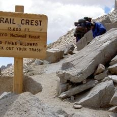
Reaching the summit requires alpine experience and proper gear for exposed ridges and steep terrain. Summer is the best time to go, as snow clears the upper slopes and weather tends to be more stable.
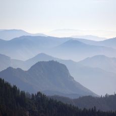
The southern slopes of this peak are home to the Foxtail Pine, a rare tree found only in certain high zones of the Sierra Nevada. These trees can live for thousands of years, and their twisted, compact shapes are a direct response to the extreme cold and wind at this altitude.
The community of curious travelers
AroundUs brings together thousands of curated places, local tips, and hidden gems, enriched daily by 60,000 contributors worldwide.